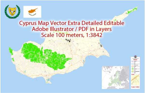
Vector maps of Cyprus Island in Adobe Illustrator, PDF, CDR
Vector Maps of the Cyprus : officially the Republic of Cyprus, is an island country in the eastern Mediterranean Sea south of the Anatolian Peninsula.
Capital: Nicosia
Area:
• Total: 9,251 km2 (3,572 sq mi)
• Water: (%) 9
Download royalty free, editable vector maps of Cyprus in high resolution digital PDF and Adobe Illustrator format.
Map Data Specification
-
Data type: Vector cartographic dataset
-
Geometry: Polylines and polygons
-
Coordinate system: WGS84 geographic coordinate system
-
Editing compatibility: Adobe Illustrator and vector graphic editors
-
Data structure: Layered map file suitable for design and print workflows


 Author: Kirill Shrayber, Ph.D. FRGS