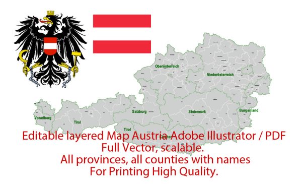
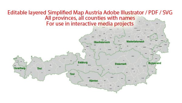
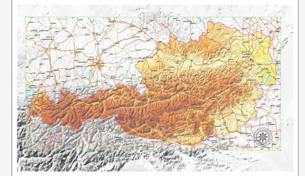
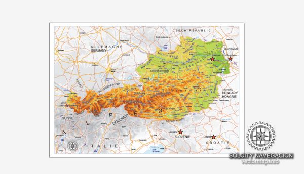
Printable Editable vector maps of Europe, the Cities and Countries maps in the Adobe Illustrator, PDF and other formats for design, architect, printing and publishing.
Andorra | Armenia | Austria | Belarus | Belgium | Bosnia Herzegovina | Bulgaria | Croatia | Cyprus | Czech Republic | Denmark | England UK | Estonia | Finland | France | Germany | Greece | Hungary | Iceland | Israel | Ireland | Italy | Latvia | Lithuania | Luxembourg | Netherlands | Norway | Poland | Portugal | Romania | Russia | Serbia
| Slovakia | Slovenia | Spain | Sweden | Switzerland | United Kingdom | Ukraine

 Author: Kirill Shrayber, Ph.D. FRGS