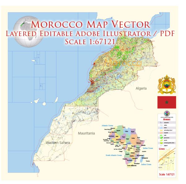
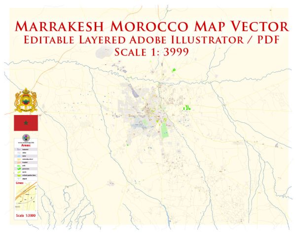
Vector Maps of the Morocco : North African country bordering the Atlantic Ocean and Mediterranean Sea, is distinguished by its Berber, Arabian and European cultural influences. Marrakesh’s medina, a mazelike medieval quarter, offers entertainment in its Djemaa el-Fna square and souks (marketplaces) selling ceramics, jewelry and metal lanterns. The capital Rabat’s Kasbah of the Udayas is a 12th-century royal fort overlooking the water.
Capital: Rabat
Area:
• Total: 710,850 km2 (274,460 sq mi)
or 446,550 km2 (172,410 sq mi) (Disputed)
• Water: (%) 0.056 (250 km2)
Download royalty free, editable vector maps of Morocco in high resolution digital PDF and Adobe Illustrator format.
Map Data Specification
-
Data type: Vector cartographic dataset
-
Geometry: Polylines and polygons
-
Coordinate system: WGS84 geographic coordinate system
-
Editing compatibility: Adobe Illustrator and vector graphic editors
-
Data structure: Layered map file suitable for design and print workflows


 Author: Kirill Shrayber, Ph.D. FRGS