Editable Vector Map of the Medellin Colombia in SVG format.
Can be edited in the following programs: Adobe Illustrator, CorelDraw, InkScape
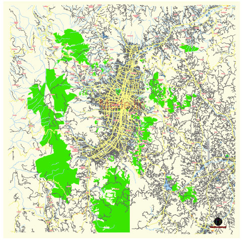
Principal streets and roads, names places, residential streets and roads, road number labels, water objects, land use areas.
Medellin Colombia editable vector map svg free
DOWNLOAD ARCHIVE FOR FREE >>>
Distributed with Creative Commons Attribution 4.0 International License
SEE ALSO FULL VERSION OF THE Medellin Colombia vector map (Adobe Illustrator, PDF etc.)
Medellín, Colombia, is a vibrant city known for its innovation, culture, and scenic beauty. Here are some of the principal streets, roads, and districts in Medellín:
Principal Streets and Roads:
- Avenida El Poblado (Carrera 43A):
- One of the main commercial and business thoroughfares in the city.
- Runs through the El Poblado district, known for its high-end shops, restaurants, and hotels.
- Avenida 80 (Avenida Ochenta):
- A major north-south artery that connects several neighborhoods and districts.
- Important for commercial and residential areas.
- Avenida Oriental (Carrera 46):
- Runs parallel to the Medellín River and connects the northern and southern parts of the city.
- Key for accessing downtown Medellín.
- Avenida San Juan (Calle 44):
- East-west street that is crucial for cross-city travel.
- Connects to the western part of Medellín.
- Autopista Sur (Southern Highway):
- Major highway connecting Medellín with other parts of the Aburrá Valley and beyond.
- Important for industrial and commercial traffic.
- Las Palmas Road:
- Scenic road that connects Medellín with the José María Córdova International Airport.
- Offers panoramic views of the city and the surrounding mountains.
Principal Districts:
- El Poblado:
- Affluent district known for its nightlife, dining, and shopping.
- Includes areas such as Parque Lleras and the Golden Mile (Milla de Oro).
- Laureles-Estadio:
- Residential district with a variety of dining and entertainment options.
- Known for the Atanasio Girardot Sports Complex.
- Belen:
- One of the largest districts, featuring a mix of residential and commercial areas.
- Includes the Unidad Deportiva de Belén and various parks.
- La Candelaria (El Centro):
- The historical and commercial heart of Medellín.
- Home to landmarks such as Plaza Botero, Antioquia Museum, and the Metropolitan Cathedral.
- Envigado:
- Technically a separate municipality, but often considered part of the Medellín metropolitan area.
- Known for its traditional charm and growing expatriate community.
- Sabaneta:
- Another nearby municipality included in the metropolitan area.
- Popular for its small-town feel and rapid development.
- Robledo:
- Residential area with a growing number of educational institutions.
- Features natural attractions such as the Cerro El Volador.
- Aranjuez:
- Historically significant district known for its cultural and traditional aspects.
- Includes the Jardín Botánico and Parque Explora.
These streets, roads, and districts are integral to the daily life and character of Medellín, making it a dynamic and multifaceted city.
 Author: Kirill Shrayber, Ph.D. FRGS