Editable Vector Map of the Manila Philippines in SVG format.
Can be edited in the following programs: Adobe Illustrator, CorelDraw, InkScape
Principal streets and roads, names places, residential streets and roads, road number labels, water objects, land use areas.
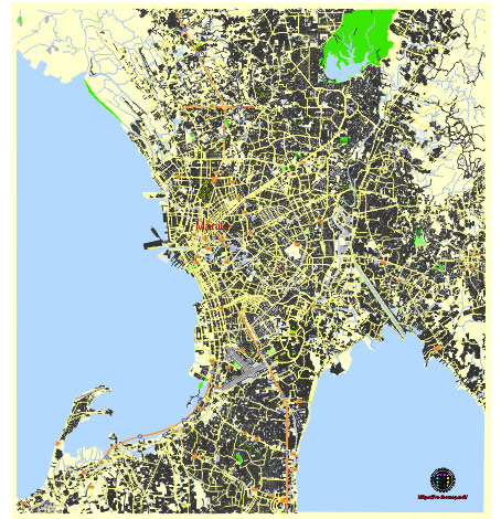
Manila Philippines editable vector map svg free
DOWNLOAD ARCHIVE FOR FREE >>>
Distributed with Creative Commons Attribution 4.0 International License
SEE ALSO FULL VERSION OF THE Manila Philippines vector map (Adobe Illustrator, PDF etc.)
Manila, the capital city of the Philippines, is a bustling metropolis with a rich history and diverse districts. Here’s an overview of the principal streets, roads, and city districts in Manila:
Principal Streets and Roads
- Roxas Boulevard:
- A major coastal boulevard running along the shores of Manila Bay, known for its scenic views and sunsets.
- Key landmarks include the U.S. Embassy, Manila Yacht Club, and the Cultural Center of the Philippines.
- España Boulevard:
- A major thoroughfare connecting the University of Santo Tomas to the city center.
- Often prone to flooding during the rainy season.
- Taft Avenue:
- A significant north-south artery running through the center of the city.
- Home to several universities including De La Salle University.
- Aurora Boulevard:
- Connects Manila with Quezon City, passing through the district of San Juan.
- Known for heavy traffic and major commercial establishments.
- Rizal Avenue (Avenida Rizal):
- A historic street running from Monumento in Caloocan to the heart of Manila.
- Features several old movie theaters and shopping areas.
- Quirino Avenue:
- Runs parallel to Roxas Boulevard, connecting various southern parts of the city.
- Passes through several residential and commercial areas.
- Quezon Boulevard:
- Leads to the Quiapo district, known for the Quiapo Church.
- Bustling with street vendors and local markets.
Key City Districts
- Intramuros:
- The historic walled city and the oldest district of Manila.
- Known for Fort Santiago, Manila Cathedral, and San Agustin Church.
- Ermita:
- A significant cultural, educational, and commercial district.
- Contains Rizal Park, the National Museum, and the University of the Philippines Manila.
- Malate:
- Famous for its nightlife, hotels, and restaurants.
- Home to the Malate Church and the Manila Zoo.
- Binondo:
- The Chinatown of Manila, considered the oldest Chinatown in the world.
- Known for its bustling markets and diverse culinary offerings.
- Quiapo:
- A dense commercial area known for the Quiapo Church, home to the Black Nazarene.
- Features the bustling Quiapo Market and several specialty shops.
- Sampaloc:
- The university belt of Manila, home to several educational institutions like the University of Santo Tomas.
- Residential and commercial mix with a vibrant student population.
- Tondo:
- One of the most densely populated districts.
- Historically significant and known for its lively local markets.
- Santa Cruz:
- A commercial and residential area.
- Features landmarks like the Santa Cruz Church and various shopping districts.
- Paco:
- Known for Paco Park, a historical cemetery turned into a recreational garden.
- A mix of residential and commercial areas with a rich history.
- Pandacan:
- An industrial and residential district.
- Known for the Pandacan oil depot and the old factories.
Key Landmarks and Attractions
- Rizal Park (Luneta): A large historical urban park.
- Fort Santiago: A citadel within Intramuros.
- Manila Cathedral: The central Roman Catholic church in the Philippines.
- San Agustin Church: A UNESCO World Heritage site within Intramuros.
- Cultural Center of the Philippines (CCP): A major cultural venue.
These streets, roads, and districts highlight the vibrant and diverse nature of Manila, each contributing to its unique urban landscape.
 Author: Kirill Shrayber, Ph.D. FRGS