Editable Vector Map of the Luzern Switzerland in SVG format.
Can be edited in the following programs: Adobe Illustrator, CorelDraw, InkScape
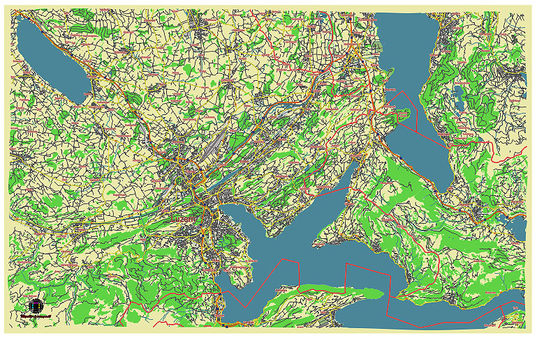
Principal streets and roads, names places, residential streets and roads, road number labels, water objects, land use areas.
Luzern Switzerland editable vector map svg free
DOWNLOAD ARCHIVE FOR FREE >>>
Distributed with Creative Commons Attribution 4.0 International License
SEE ALSO FULL VERSION OF THE Luzern Switzerland vector map (Adobe Illustrator, PDF etc.)
Luzern (Lucerne), Switzerland, is known for its picturesque scenery and historic landmarks. Here are some of the principal streets, roads, and city districts of Luzern:
Principal Streets and Roads
- Kapellbrücke (Chapel Bridge): This is one of Luzern’s most iconic landmarks. The wooden pedestrian bridge crosses the Reuss River and connects the Old Town to the New Town.
- Seebrücke: A significant bridge that connects different parts of the city, providing access over Lake Lucerne and offering stunning views.
- Pilatusstrasse: A major thoroughfare running through Luzern, known for its shops, restaurants, and proximity to important sites like the Culture and Convention Center.
- Hirschengraben: A central street lined with shops, cafes, and historical buildings.
- Bahnhofstrasse: The street leading from the main railway station (Bahnhof Luzern) into the heart of the city.
- Schwanenplatz: A bustling square near the lake, surrounded by luxury shops and popular with tourists.
- Museggstrasse: Known for its proximity to the Musegg Wall, a well-preserved part of Luzern’s medieval city fortifications.
- Löwenstrasse: Close to the Lion Monument, one of Luzern’s most famous landmarks.
City Districts
- Altstadt (Old Town): This historic district is characterized by its medieval architecture, narrow alleys, and vibrant squares. Key landmarks include the Kapellbrücke, the Water Tower, and the Jesuit Church.
- Neustadt (New Town): Located to the south of the Old Town, it offers a mix of modern and historical architecture, with plenty of shopping, dining, and cultural venues.
- Littau: Formerly a separate municipality, Littau was incorporated into Luzern in 2010. It’s a residential area with its own local amenities and parks.
- Hirschmatt-Neustadt: A lively district known for its nightlife, with numerous bars, clubs, and restaurants.
- Wesemlin-Dreilinden: A residential district with green spaces and views over the city.
- Bruch: An up-and-coming area known for its creative vibe, featuring trendy cafes, boutiques, and galleries.
- Matthof: A residential area with good public transport links, close to the university and various recreational facilities.
- Obergütsch: Known for its panoramic views over Luzern and access to hiking trails leading into the surrounding hills.
These streets and districts are integral to the charm and functionality of Luzern, offering a blend of historical significance and modern convenience.
 Author: Kirill Shrayber, Ph.D. FRGS