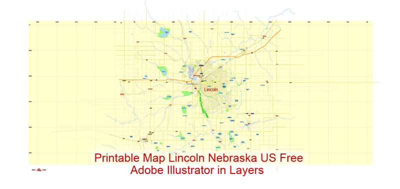
Lincoln
City in Nebraska
Lincoln is the capital city of Nebraska. The Nebraska State Capitol has a domed tower with observation decks. Built in 1930, the Sunken Gardens features themed gardens, sculptures and lily ponds. Up-close animal encounters and a zoo train are among the draws of the Lincoln Children’s Zoo. Sheldon Museum of Art, on the University of Nebraska campus, has a notable collection of American art and a sculpture garden.
Area
• City 93.46 sq mi (242.06 km2)
• Land 92.11 sq mi (238.56 km2)
• Water 1.35 sq mi (3.50 km2) 1.4%
• Urban 89.61 sq mi (232.09 km2)
• Metro 1,422.27 sq mi (3,683.66 km2)
• CSA 2,260.44 sq mi (5,854.5 km2)
Elevation 1,176 ft (358 m)
Population
• City 258,379 (US: 73rd)
• Estimate 280,364
• Density 2,999.8/sq mi (1,158.2/km2)
• Urban 258,719 (US: 145th)
• Urban density 2,887.2/sq mi (1,114.8/km2)
• Metro 326,921 (US: 154th)
• Metro density 229.9/sq mi (88.8/km2)
• CSA 348,720 (US: 105th)
• CSA density 154.3/sq mi (59.7/km2)

Free Download Vector Map US County and State Adobe Illustrator
Free_Vector_Map_US_States_County_Map.ai
Free Download Vector Map US County and State Adobe PDF
Free_Vector_Map_US_States_County_Map.pdf

Free Download Vector Map US With States Names, Adobe Illustrator
Free_Map_of_USA_with_state_names_en.ai
Free Download Vector Map US With States Names, Adobe PDF
Free_Map_of_USA_with_state_names_en.pdf
Free vector map World, Adobe Illustrator, download now maps vector clipart
Map for design, projects, presentation free to use as you like.
See also: TERMS & CONDITIONS: SOFTWARE LICENSE AGREEMENT FOR DIGITAL CARTOGRAPHIC DATA.
Need more USA Vector Maps, printable and editable?
 Author: Kirill Shrayber, Ph.D. FRGS