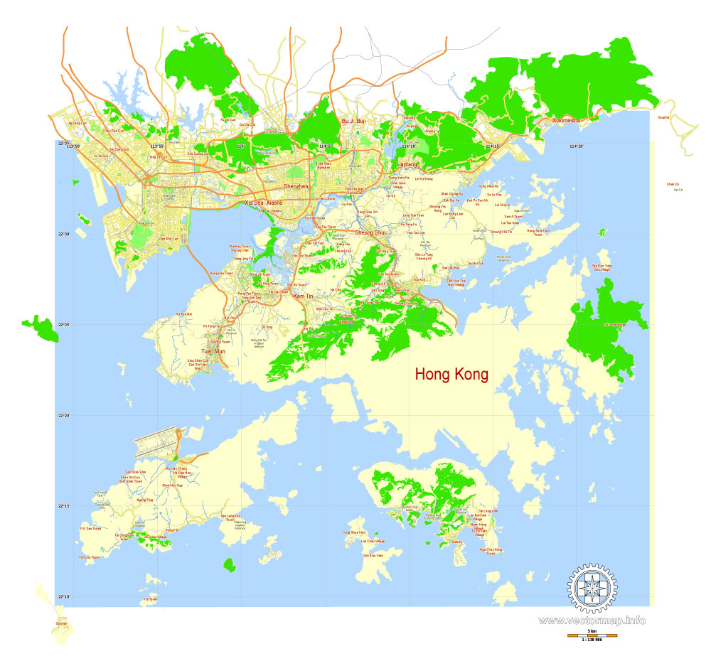
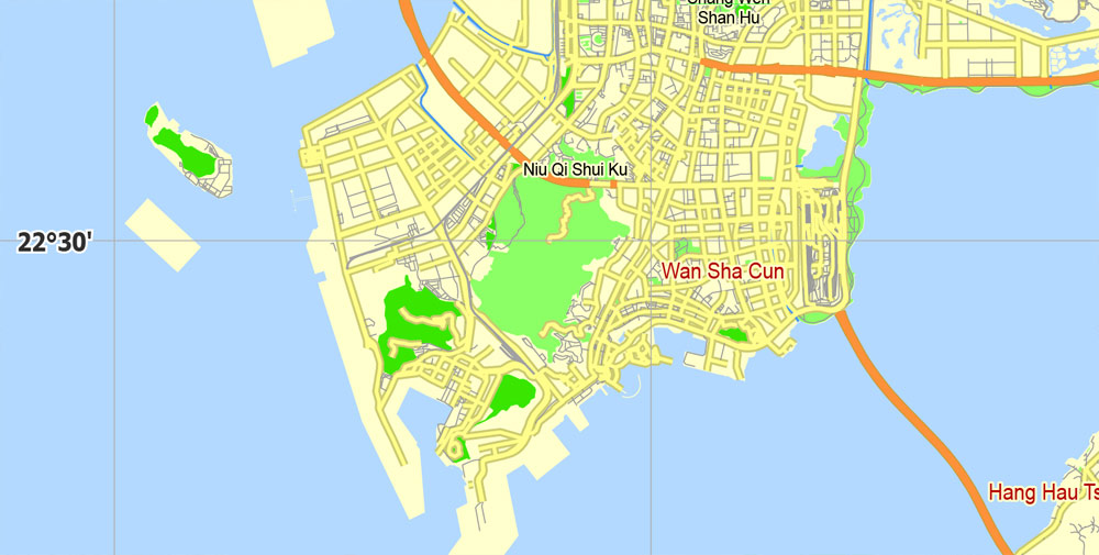
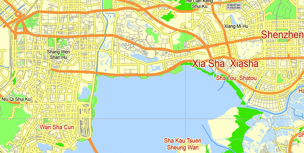
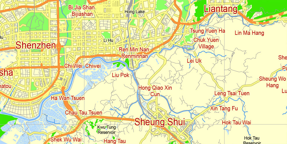
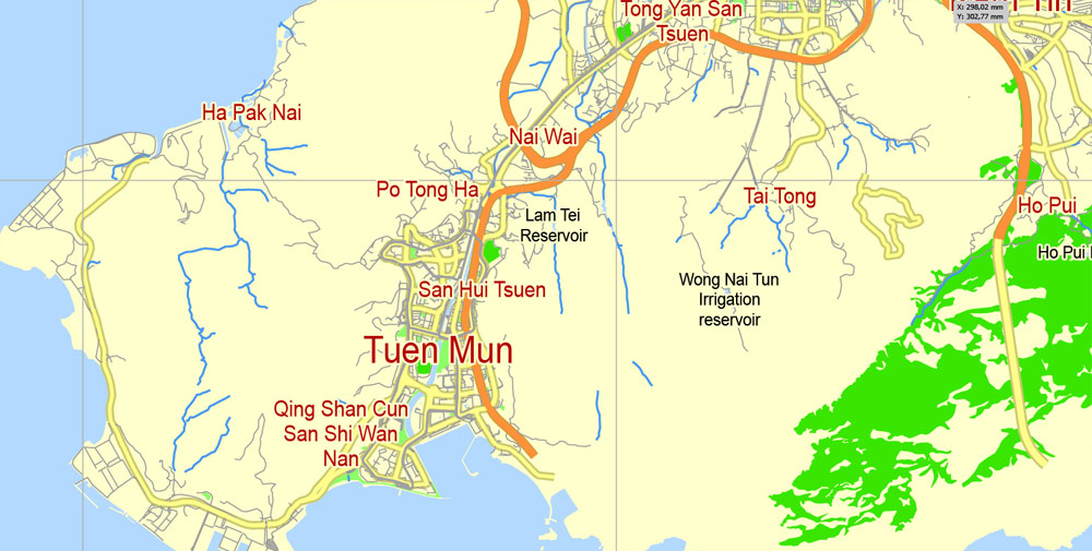
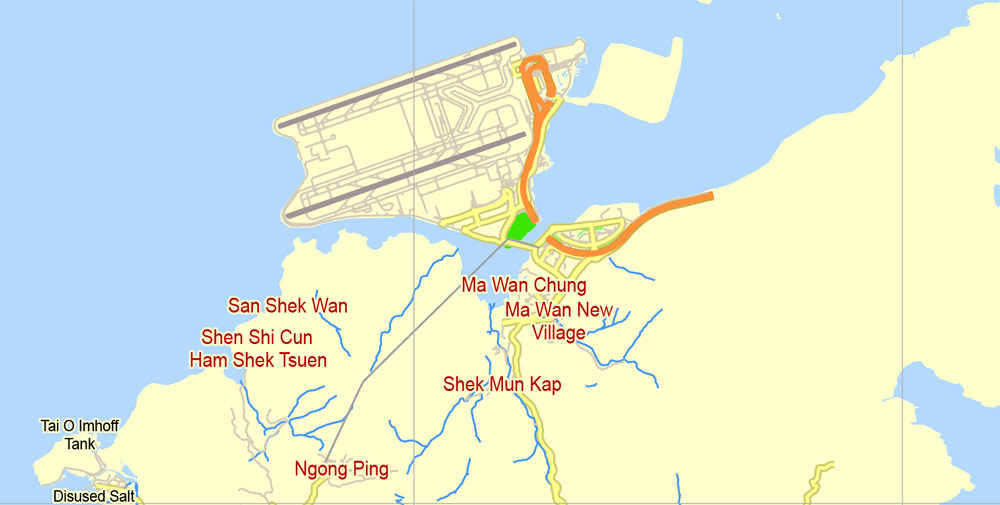
Free Download vector Map Hong Kong, China, Free printable editable SVG map Hong Kong in English
printable_map_hong_kong_china_g-view_level_12_eng_svg-svg

This work is licensed under a Creative Commons Attribution 4.0 International License.
How to Create Street View Videos
Creating Google Street View Videos from Itineraries
Over the last few years a number of bands have created music videos by stitching together a series of Street View images to show animated road-trips. Probably, one of the simples solutions is buy a Hong Kong – Shenzhen, China, printable vector map Adobe PDF editable City Plan G-View Level 13 (2.000 meters scale) V3.09, full vector. The gmapify blog has created a great tutorial explaining how you can create your own Street View videos.
The tutorial explains how to create a program to collect all the Street View images along a given route and how to then create a video with the images using the free FFmpeg program. The tutorial includes all the source code to implement this yourself and is also illustrated with a number of example videos.
Also See
- Street View Drives – animations of Street View images
- Music Videos Featuring Google Street View
- Google’s Hidden Street View Still Images API

 Author: Kirill Shrayber, Ph.D. FRGS