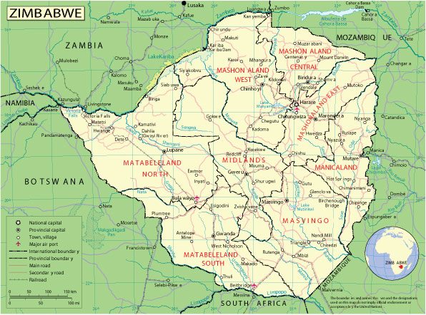
Free vector map Zimbabwe Adobe Illustrator, download now maps vector clipart >>>>>
Map for design, projects, presentation free to use as you need.

Zimbabwe
Country in Africa
Zimbabwe is a landlocked country in southern Africa known for its diverse landscape and fauna. Most wild animals live in parks, reserves and safari areas. Victoria Falls on the Zambezi River, which is 108 meters high, falls noisily into the narrow Batoka Gorge, popular with fans of rafting and bungee jumping. Downstream of the river are the Matusadona and Mana Pools National Parks, home to hippos, rhinos and birds.
Capital: Harare
Population: 14.86 million
All World Vector maps free >>>>>
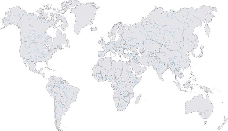
Free vector map World contour 1, Adobe Illustrator, download now maps vector clipart
Map for design, projects, presentation free to use as you like.

Free vector map World contour 1, Adobe Illustrator, download now maps vector clipart Map for design, projects, presentation free to use as you like.
The struggle for independence, land and power runs throughout Zimbabwe’s history. Veteran President Robert Mugabe has dominated the country’s political scene since independence from Britain in 1980.
Landlocked, the southern African country is bordered by Zambia in the north, Mozambique in the east, Botswana in the west and South Africa in the south.
Once the bread basket of the region, since 2000 Zimbabwe has struggled to feed its own people due to severe droughts and the effects of a land reform programme which saw the seizure of white-owned farms redistributed to landless black Zimbabweans which led to sharp falls in production.
Cash-strapped and impoverished, Zimbabwe’s economy faces severe challenges. Unemployment and poverty are endemic and political strife and repression commonplace. Many Zimbabweans have left the country in search of work in South Africa.

 Author: Kirill Shrayber, Ph.D. FRGS