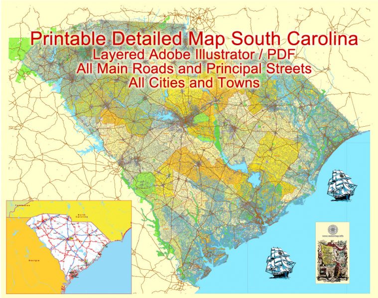
Free vector map State South Carolina US Adobe Illustrator and PDF download
Free vector map State South Carolina US Adobe Illustrator download now >>>
Free vector map State South Carolina US Adobe PDF download now >>>
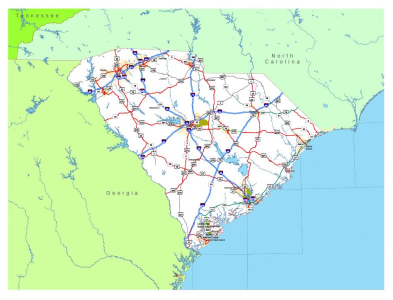
South Carolina See also: Full version high detailed vector maps of the State territory, and Cities
US State
South Carolina is a southeastern U.S. state known for its shoreline of subtropical beaches and marshlike sea islands. Coastal Charleston is a historic city, defined by pastel-colored houses, Old South plantations, and Fort Sumter, where the Civil War’s opening shots were fired. To the north is the Grand Strand, a roughly 60-mile stretch of beachfront known for golf courses and the vacation town Myrtle Beach.
Capital: Columbia
See also: Full version of South Carolina map
Map South Carolina State, US, exact vector Map Street, Road, and Admin Plan
 Author: Kirill Shrayber, Ph.D. FRGS