Free vector map State North Carolina US Adobe Illustrator and PDF download
Free vector map State North Carolina US Adobe Illustrator download now >>>
Free vector map State North Carolina US Adobe PDF download now >>>
North Carolina See also: Full version high detailed vector maps of the State territory, and Cities
US State
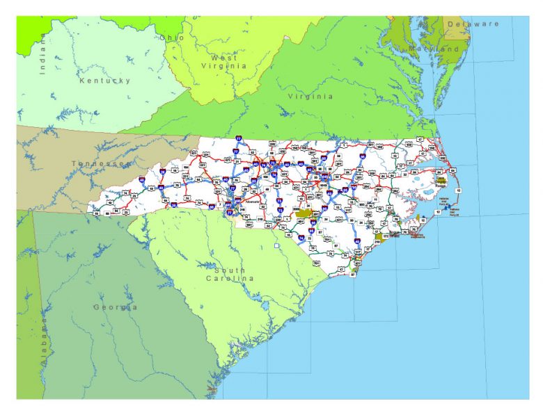
North Carolina is a state in the southeastern region of the United States. It borders South Carolina and Georgia to the south, Tennessee to the west, Virginia to the north, and the Atlantic Ocean to the east. North Carolina is the 28th-most extensive and the 9th-most populous of the U.S. states.
Capital: Raleigh
Population: 10.38 million
 Author: Kirill Shrayber, Ph.D. FRGS