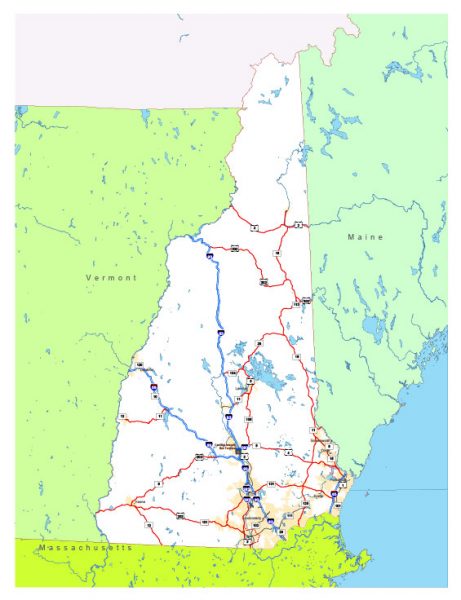
Free vector map State New Hampshire US Adobe Illustrator and PDF download
Free vector map State New Hampshire US Adobe Illustrator download now >>>
Free vector map State New Hampshire US Adobe PDF download now >>>
New Hampshire See also: Full version high detailed vector maps of the State territory, and Cities
US State
New Hampshire, a U.S. state in New England, is defined by its quaint towns and large expanses of wilderness.
In the north, White Mountain National Forest is known for winter sports areas and Mt. Washington, the region’s highest peak, with a cog railway to its summit. Also in the White Mountains are moose, black bears and part of the Appalachian Trail.
Capital: Concord

 Author: Kirill Shrayber, Ph.D. FRGS