Free vector map State Louisiana US Adobe Illustrator and PDF download
Free vector map State Louisiana US Adobe Illustrator download now >>>
Free vector map State Louisiana US Adobe PDF download now >>>
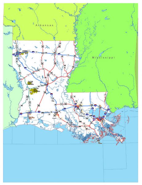
Louisiana See also: Full version high detailed vector maps of the State territory, and Cities
US State
Louisiana is a southeastern U.S. state on the Gulf of Mexico. Its history as a melting pot of French, African, American and French-Canadian cultures is reflected in its Creole and Cajun cultures. The largest city, New Orleans, is known for its colonial-era French Quarter, raucous Mardi Gras festival, jazz music, Renaissance-style St. Louis Cathedral and wartime exhibits at the huge National WWII Museum.
Capital: Baton Rouge
Abbreviation: LA
Zip code: 71454
 Author: Kirill Shrayber, Ph.D. FRGS