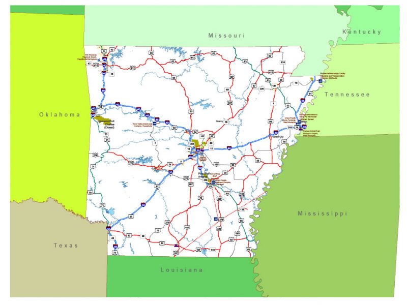
Free vector map Arkansas State US Adobe Illustrator and PDF download
Free vector map Arkansas State US Adobe Illustrator download now >>>
Free vector map Arkansas State US Adobe PDF download now >>>
Arkansas See also: Full version high detailed vector maps of the State territory, and Cities
US State
Arkansas is a southern U.S. state bordering the Mississippi River. It’s known for its abundant park and wilderness areas, with terrain encompassing mountains, caves, rivers, and hot springs. The rugged Ozarks region in its northwest has hiking trails and limestone caves such as Blanchard Springs Caverns. Its capital, Little Rock, hosts the Clinton Presidential Center, housing Bill Clinton’s presidential archives.
Capital: Little Rock
Abbreviation: AR
Population: 3.014 million

 Author: Kirill Shrayber, Ph.D. FRGS