Free download vector map Bouganville island, Adobe Illustrator, download now >>>>>
Map for design, projects, presentation free to use as you like.
Please, Share it!
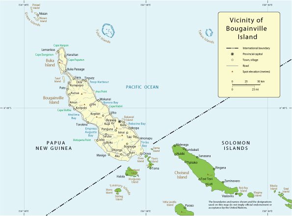
Bougainville
Island in the Pacific Ocean.
Bougainville is an island in the Pacific Ocean, the largest in the Solomon Islands. The largest island of the Autonomous Region of Bougainville, which is part of Papua New Guinea. In December 2019, during the referendum held, the majority of the inhabitants of the island voted for independence.
Area: 9,318 km²
Highest point: 2715 m
Population: 249,358
 Author: Kirill Shrayber, Ph.D. FRGS