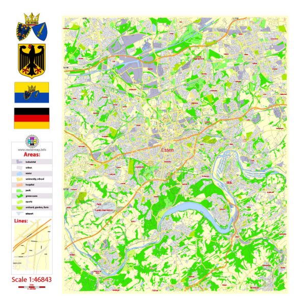
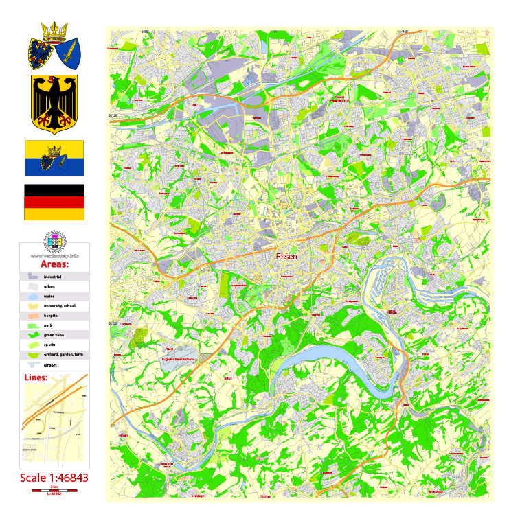
Free Printable Vector Map Essen, Germany, full editable Adobe Illustrator / PDF in Layers
Download now:
Adobe Illustrator : https://vectormap.net/wp-content/uploads/2018/06/essen_free_map_vector_germany_gvl13_b_ai_10_free.ai.zip
Adobe PDF : https://vectormap.net/wp-content/uploads/2018/06/essen_free_map_vector_germany_gvl13_b_ai_10_free.pdf.zip
See also: FULL VERSIONS MAP ESSEN
Adobe Illustrator : https://vectormap.net/product/essen-map-vector-germany/
Adobe PDF : https://vectormap.net/product/essen-pdf-map-vector-printable-germany-exact-city-plan-scale-1×46843-editable-layered-adobe-pdf-street-map/
Essen
City in Germany
Essen is a city in western Germany. Zollverein Coal Mine Industrial Complex has been transformed to house several museums. A heritage trail through the former colliery chronicles the city’s history of coal mining and steel production. In a former coal-washing plant, the Ruhr Museum is dedicated to regional history. Red Dot Design Museum showcases contemporary design through everyday objects in an old boiler house.
Area
• City 210.32 km2 (81.21 sq mi)
Elevation 116 m (381 ft)
Population
• City 583,084
• Density 2,800/km2 (7,200/sq mi)
• Urban 5,376,000
• Metro 13,400,000
 Author: Kirill Shrayber, Ph.D. FRGS