Editable Vector Map of the Cincinnati Ohio US in SVG format.
Can be edited in the following programs: Adobe Illustrator, CorelDraw, InkScape
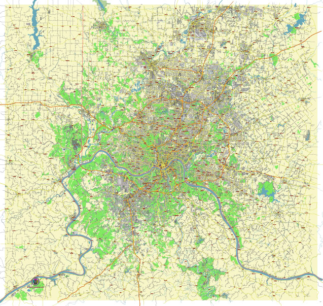
Principal streets and roads, names places, residential streets and roads, road number labels, water objects, land use areas.
Cincinnati Ohio US editable vector map svg free
DOWNLOAD ARCHIVE FOR FREE >>>
Distributed with Creative Commons Attribution 4.0 International License
SEE ALSO FULL VERSION OF THE Cincinnati Ohio US vector map (Adobe Illustrator, PDF etc.)
Cincinnati, Ohio, is a vibrant city with many notable streets, roads, and districts. Here are some of the principal ones:
Streets:
- Vine Street: Located in the Over-the-Rhine district, Vine Street is known for its historic buildings, trendy boutiques, and eateries.
- Main Street: Another prominent street in Over-the-Rhine, Main Street is lined with shops, galleries, and restaurants.
- Walnut Street: Parallel to Vine and Main, Walnut Street offers more shopping and dining options in the heart of downtown.
- Fountain Square: Though not a street, Fountain Square is a central plaza surrounded by important streets like Fifth, Vine, and Walnut. It’s a hub for events, performances, and gatherings.
- Reading Road: A major thoroughfare running through several neighborhoods, including Avondale and Bond Hill.
Roads:
- Interstate 75 (I-75): A major north-south interstate highway passing through Cincinnati, connecting it with other cities like Dayton and Toledo to the north and Lexington, Kentucky, to the south.
- Interstate 71 (I-71): Another significant interstate highway, I-71 runs northeast-southwest through Cincinnati, connecting it with cities like Columbus and Cleveland to the northeast and Louisville, Kentucky, to the southwest.
- Interstate 275 (I-275): A beltway around the Cincinnati metropolitan area, I-275 provides access to various suburbs and connects with I-71, I-75, and I-74.
- US Route 50: Known locally as Columbia Parkway, US-50 follows the Ohio River and provides scenic views of the city skyline.
- US Route 52: Also known as the Kellogg Avenue, US-52 runs along the Ohio River on the city’s eastern edge.
Districts:
- Over-the-Rhine: This historic neighborhood is known for its Italianate architecture, eclectic shops, bars, and restaurants.
- Downtown: The central business district of Cincinnati, downtown is home to many corporate offices, museums, theaters, and sports venues like the Great American Ball Park and Paul Brown Stadium.
- The Banks: Situated along the Ohio River, The Banks is a mixed-use development with restaurants, bars, apartments, and green spaces. It’s adjacent to downtown and overlooks the stadiums.
- Mount Adams: A charming neighborhood overlooking downtown, Mount Adams features narrow streets, historic homes, and stunning views of the city.
- Hyde Park: An affluent neighborhood known for its upscale shops, restaurants, and beautiful parks, Hyde Park is located a few miles east of downtown.
These are just some of the principal streets, roads, and districts that make up the diverse tapestry of Cincinnati, Ohio.
 Author: Kirill Shrayber, Ph.D. FRGS