Editable Vector Map of the Charleston South Carolina US in SVG format.
Can be edited in the following programs: Adobe Illustrator, CorelDraw, InkScape
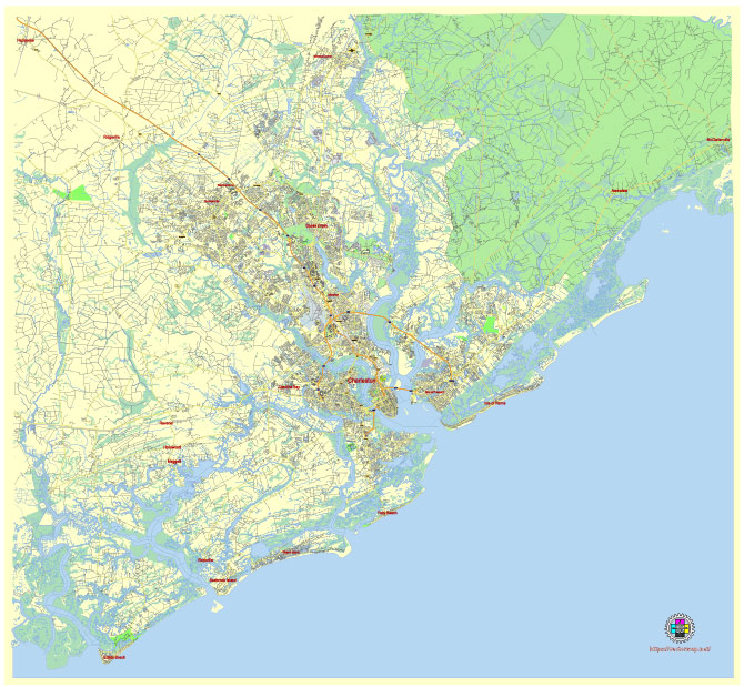
Principal streets and roads, names places, residential streets and roads, road number labels, water objects, land use areas.
Charleston South Carolina US editable vector map svg free
DOWNLOAD ARCHIVE FOR FREE >>>
Distributed with Creative Commons Attribution 4.0 International License
SEE ALSO FULL VERSION OF THE Charleston South Carolina US vector map (Adobe Illustrator, PDF etc.)
Charleston, South Carolina, is a city rich in history, culture, and distinctive neighborhoods. Here are some of its principal streets, roads, and city districts:
- King Street: This is one of Charleston’s most famous streets, known for its vibrant shopping, dining, and nightlife scene. It runs through the historic downtown area.
- Meeting Street: Another prominent street in downtown Charleston, Meeting Street is lined with historic homes, churches, and landmarks.
- Broad Street: Broad Street is known for its historic architecture, upscale shops, and art galleries.
- East Bay Street: This street runs along the waterfront and offers beautiful views of Charleston Harbor. It’s home to many restaurants, bars, and shops.
- The Battery: This historic defensive seawall and promenade offer stunning views of Charleston Harbor and is lined with antebellum mansions and picturesque parks.
- Ashley River Road (Highway 61): This scenic road follows the Ashley River and is lined with historic plantations, including Middleton Place and Magnolia Plantation.
- Calhoun Street: Calhoun Street runs through the heart of downtown Charleston and is home to the College of Charleston and Marion Square, where many events and festivals take place.
- South of Broad: This is a prestigious residential neighborhood located south of Broad Street, known for its stately homes, cobblestone streets, and beautiful gardens.
- French Quarter: The French Quarter is located in downtown Charleston and is known for its historic architecture, art galleries, and restaurants.
- Harleston Village: This charming neighborhood is located just west of King Street and is known for its tree-lined streets, historic homes, and College of Charleston campus.
- The Citadel: The Citadel is a historic military college located on the banks of the Ashley River.
- Mount Pleasant: While not technically part of Charleston, Mount Pleasant is a neighboring town just across the Cooper River. It’s known for its family-friendly neighborhoods, waterfront parks, and the historic USS Yorktown at Patriots Point.
These are just a few of the many streets, roads, and districts that make up the vibrant tapestry of Charleston, South Carolina. Each area has its own unique charm and history, contributing to the city’s allure as a popular destination for visitors and residents alike.
 Author: Kirill Shrayber, Ph.D. FRGS