Editable Vector Map of the Brisbane Australia in SVG format.
Can be edited in the following programs: Adobe Illustrator, CorelDraw, InkScape
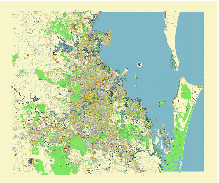
Principal streets and roads, names places, residential streets and roads, road number labels, water objects, land use areas.
Brisbane Australia editable vector map svg free
DOWNLOAD ARCHIVE FOR FREE >>>
Distributed with Creative Commons Attribution 4.0 International License
SEE ALSO FULL VERSION OF THE Brisbane Australia vector map (Adobe Illustrator, PDF etc.)
Brisbane, the capital city of Queensland, Australia, is known for its distinctive city districts, roads, and streets. Here are some of the principal ones:
Principal Streets and Roads
- Queen Street: A major street in the central business district (CBD), home to the Queen Street Mall, a bustling shopping and entertainment area.
- George Street: Runs parallel to Queen Street and houses several government buildings, including Parliament House and the Queensland University of Technology (QUT).
- Ann Street: Another key street in the CBD, known for its historical buildings and proximity to the Central Station.
- Edward Street: Famous for luxury shopping and high-end boutiques, also located in the CBD.
- Adelaide Street: Connects key parts of the CBD and features significant commercial and retail spaces.
- Elizabeth Street: Runs through the CBD and is known for its shopping and dining options.
- Mary Street: Houses many corporate offices and financial institutions.
- Albert Street: Known for its heritage buildings and central location within the CBD.
Major Roads
- Pacific Motorway (M3): Connects Brisbane to the Gold Coast and is a primary route for southbound traffic.
- Bruce Highway (M1): Extends northward from Brisbane towards the Sunshine Coast and beyond.
- Ipswich Road: Connects the inner city to the western suburbs and Ipswich.
- Lutwyche Road: A major arterial road running north from the CBD.
- Gympie Road: Another significant northern arterial road that eventually becomes the Bruce Highway.
- Logan Road: A key southside arterial road leading towards Logan City.
- Sandgate Road: Connects the northern suburbs to the city.
Principal City Districts
- Brisbane CBD (Central Business District): The heart of the city, featuring key commercial, retail, and entertainment hubs.
- Fortitude Valley: Known for its vibrant nightlife, entertainment, and cultural precincts, including Chinatown.
- South Bank: Located across the Brisbane River from the CBD, home to parklands, museums, and cultural venues like the Queensland Performing Arts Centre (QPAC).
- West End: A trendy, eclectic district known for its multicultural atmosphere, cafes, and markets.
- New Farm: A residential and cultural area known for the New Farm Park and the Brisbane Powerhouse arts venue.
- Kangaroo Point: Features stunning river views, the Kangaroo Point Cliffs, and outdoor recreation areas.
- Spring Hill: One of the oldest residential neighborhoods, close to the CBD and known for its heritage buildings.
- Milton: A riverside district featuring office spaces, the Suncorp Stadium, and the famous Park Road dining precinct.
- Toowong: A mix of residential and commercial spaces, with the Toowong Village shopping center and proximity to the University of Queensland.
- Woolloongabba: Home to the iconic Gabba sports stadium and a growing number of cafes and restaurants.
These streets, roads, and districts form the backbone of Brisbane, contributing to its unique character and urban landscape.
 Author: Kirill Shrayber, Ph.D. FRGS