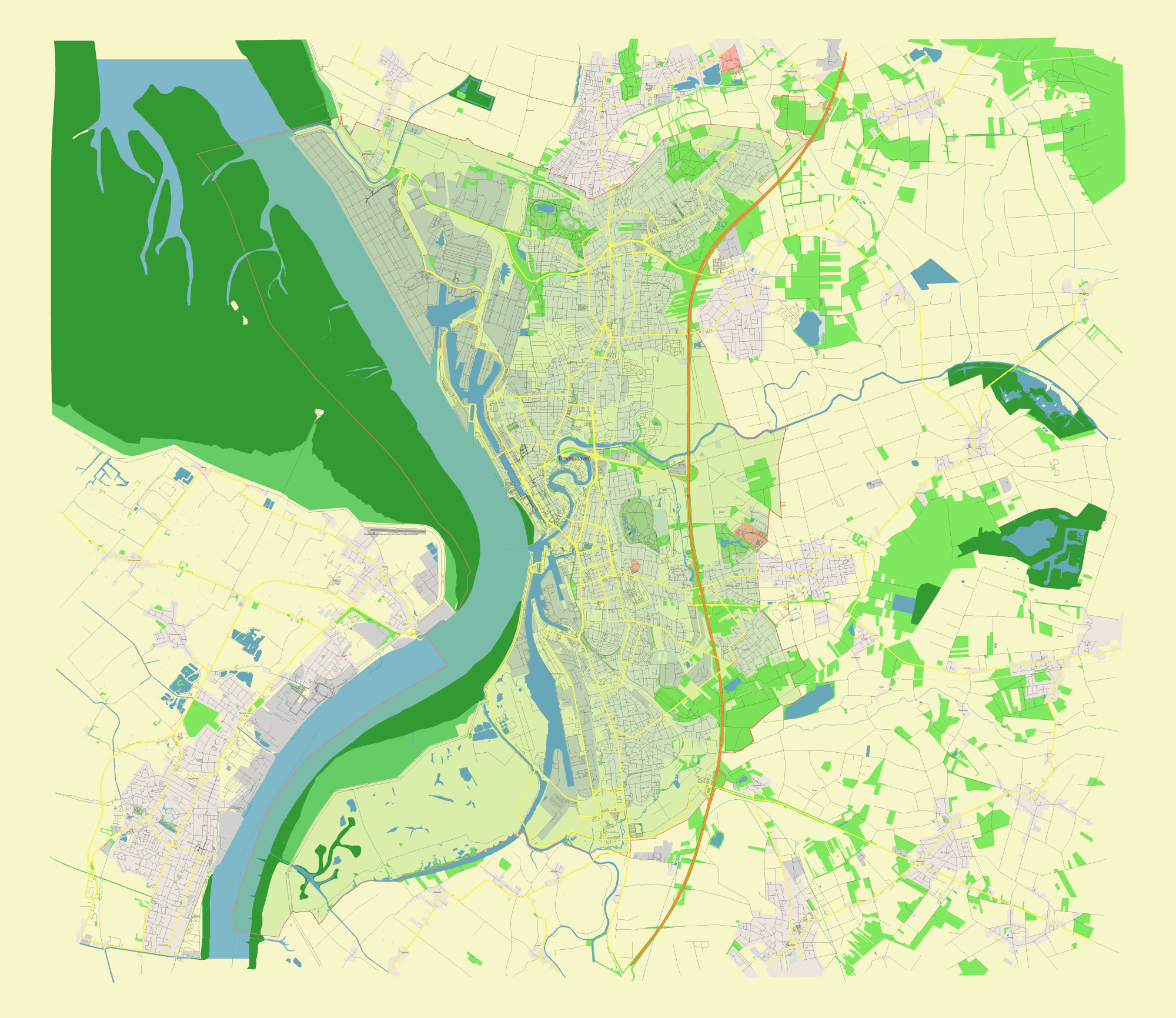
Editable Vector Map of Bremerhaven Germany in Adobe Illustrator, PDF and SVG Free.
Can be edited in the following programs: Adobe Illustrator, CorelDraw, InkScape
All streets and roads, names places, residential streets and roads, water objects, land use areas.

Bremerhaven Germany Vector Map in Adobe Illustrator, PDF and SVG Free
Bremerhaven Germany editable vector map SVG free DOWNLOAD ARCHIVE FOR FREE 1 mb >>>
Bremerhaven Germany editable vector map Adobe Illustrator free DOWNLOAD ARCHIVE FOR FREE 2 mb >>>
Bremerhaven Germany editable vector map Adobe PDF free DOWNLOAD ARCHIVE FOR FREE 3 mb >>>
SEE ALSO FULL VERSION OF THE Bremerhaven Germany vector map (Adobe Illustrator, PDF etc.)
Bremerhaven, Germany, is a key port city with a rich maritime history. Here are some of the principal streets, roads, and districts that characterize Bremerhaven:
Streets and Roads:
- Columbusstraße: A major street running through the city center, connecting various key areas, including the harbor and shopping districts.
- Bürgermeister-Smidt-Straße: One of the central streets in Bremerhaven, home to numerous shops, cafes, and cultural institutions.
- Grimsbystraße: A significant road that connects different parts of the city and leads to the port area.
- Elbestraße: Running along the River Elbe, this road offers scenic views and access to waterfront attractions.
- Hafenstraße: A main road that runs parallel to the docks and harbors, providing access to the industrial and maritime areas.
- Geestemünder Straße: Connects the district of Geestemünde to other parts of Bremerhaven, with a mix of residential and commercial properties.
City Districts:
- Mitte (City Center): The heart of Bremerhaven, where you’ll find many of the city’s cultural institutions, shopping areas, and historical sites. Key attractions include the German Maritime Museum and the Climate House.
- Geestemünde: A district south of the city center, known for its residential areas, local markets, and historical buildings.
- Lehe: One of the older parts of Bremerhaven, featuring a mix of residential buildings, parks, and cultural sites. The district has a rich history and a diverse community.
- Leherheide: A predominantly residential area located in the northern part of Bremerhaven, known for its green spaces and family-friendly environment.
- Wulsdorf: Located in the southern part of the city, Wulsdorf is a mix of residential and industrial areas, with access to several parks and recreational facilities.
- Speckenbüttel: Known for its large park, the Speckenbüttel district offers plenty of green spaces and recreational opportunities, including a botanical garden and sports facilities.
Notable Areas:
- Havenwelten (Harbor Worlds): A modern waterfront development featuring major attractions like the Klimahaus, the German Emigration Center, and the Atlantic Hotel Sail City. This area showcases Bremerhaven’s maritime heritage and offers various leisure activities.
- Fischereihafen (Fishing Harbor): A historic area dedicated to the fishing industry, now also home to seafood restaurants, fish markets, and maritime businesses.
- Schaufenster Fischereihafen: A tourist hotspot within the Fischereihafen area, offering a glimpse into the city’s fishing traditions, with numerous restaurants, shops, and maritime exhibits.
- Überseehäfen (Overseas Ports): The industrial heart of Bremerhaven, where the city’s extensive port facilities are located, handling a significant portion of Germany’s maritime trade.
These streets, roads, and districts collectively highlight Bremerhaven’s blend of historical significance, maritime culture, and modern development, making it a unique and vibrant city in northern Germany.

 Author: Kirill Shrayber, Ph.D. FRGS