Editable Vector Map of the Boston Historic Districts, Massachusetts US in SVG format.
Can be edited in the following programs: Adobe Illustrator, CorelDraw, InkScape
Principal streets and roads, names places, residential streets and roads, road number labels, water objects, land use areas.
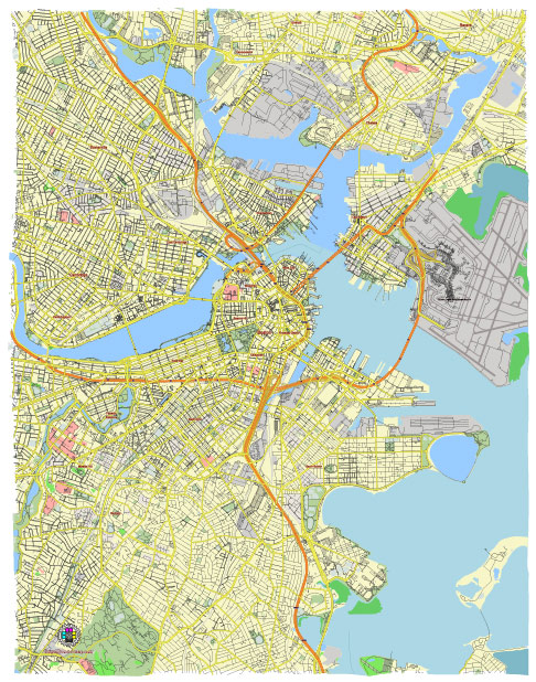
Boston Historic Districts, Massachusetts US editable vector map svg free
DOWNLOAD ARCHIVE FOR FREE >>>
Distributed with Creative Commons Attribution 4.0 International License
Boston is rich in history and boasts numerous historic districts, main streets, and significant historic buildings. Here’s an overview of some notable ones:
Historic Districts
- Beacon Hill:
- Description: One of Boston’s most picturesque neighborhoods, known for its narrow, gas-lit streets and brick sidewalks.
- Notable Sites: Louisburg Square, Massachusetts State House, Acorn Street.
- Back Bay:
- Description: Famous for its Victorian brownstone homes, it is one of the best-preserved examples of 19th-century urban design in the United States.
- Notable Sites: Commonwealth Avenue, Newbury Street, and the Boston Public Library.
- North End:
- Description: Boston’s oldest residential community, known for its Italian-American population and rich history.
- Notable Sites: Paul Revere House, Old North Church.
- South End:
- Description: Known for its Victorian brownstone buildings and vibrant arts scene.
- Notable Sites: Union Park Street, SOWA (South of Washington) Market.
- Charlestown:
- Description: Historic district featuring colonial and Federal-style buildings.
- Notable Sites: Bunker Hill Monument, USS Constitution.
Main Streets
- Newbury Street:
- Description: Located in the Back Bay area, it’s known for its historic 19th-century brownstones, upscale shopping, dining, and cultural institutions.
- Charles Street:
- Description: A key street in Beacon Hill, lined with boutiques, antique shops, and charming cafes.
- Hanover Street:
- Description: The main thoroughfare of the North End, known for its Italian restaurants, cafes, and historical sites.
- Boylston Street:
- Description: Runs through Back Bay and downtown Boston, featuring a mix of historic and modern buildings, shops, and the Boston Public Library.
Historic Buildings
- Massachusetts State House:
- Location: Beacon Hill.
- Description: Completed in 1798, designed by Charles Bulfinch, and noted for its golden dome.
- Old North Church:
- Location: North End.
- Description: Built in 1723, famous for the “One if by land, and two if by sea” signal during Paul Revere’s midnight ride.
- Paul Revere House:
- Location: North End.
- Description: Built around 1680, it’s the colonial home of American patriot Paul Revere during the American Revolution.
- Boston Public Library:
- Location: Back Bay.
- Description: Established in 1848, it was the first large free municipal library in the United States. The McKim Building, completed in 1895, is an architectural masterpiece.
- Faneuil Hall:
- Location: Downtown Boston.
- Description: A historic marketplace and meeting hall since 1743, often referred to as “The Cradle of Liberty.”
- Old State House:
- Location: Downtown Boston.
- Description: Built in 1713, it’s one of the oldest public buildings in the United States and played a key role in American history.
Summary
Boston’s historic districts, main streets, and buildings reflect the city’s rich heritage and architectural evolution. Whether exploring the cobblestone streets of Beacon Hill, the bustling Hanover Street in the North End, or the grand avenues of Back Bay, Boston offers a vivid journey through American history.
 Author: Kirill Shrayber, Ph.D. FRGS