Printable Vector Map Area 51 (+ surrounds), Nevada US detailed fully editable Adobe Illustrator/PDF Road Relief Map in layers, scalable, text/curves format all names, 127/248 MB ZIP
All streets and roads, Names Main streets and roads, All Known Objects, Railroads, Airports, relief isolines (5 m), elevation levels. Map for design, printing, arts, projects, presentations, for architects, designers, and builders, business, logistics.
Also: If you need any OTHER format – DWG, DXF, Corel, or something else – please, email us
Adobe Illustrator: Free download vector map Area 51 HD with relief, 127 Mb ZIP, FREE DOWNLOAD NOW! >>>>>
Adobe PDF: Free download vector map Area 51 HD with relief, 248 Mb ZIP, FREE DOWNLOAD NOW! >>>>>
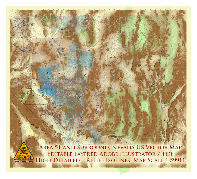
Area 51 (and surround) Nevada US Editable Layered Vector map: Extra High Detailed, with Relief Isolines (5m) Free Download
Layers list:
- Legend
- Grids
- Names of Airports
- Points of Airports
- Names of places (city, hamlet, etc.)
- Points of places
- Names Known objects
- Elevation labels
- Names of Main Streets and Roads
- Main streets and roads
- Residential streets and roads
- Railroads
- Water objects (areas)
- Waterways
- Airport runways
- Relief isolines
- Land Use Areas
- Background
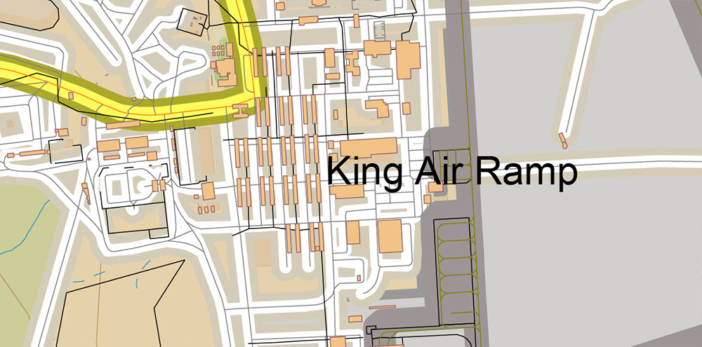
Area 51 (and surround) Nevada US Editable Layered Vector map: Extra High Detailed, with Relief Isolines (5m) Free Download PDF + Illustrator
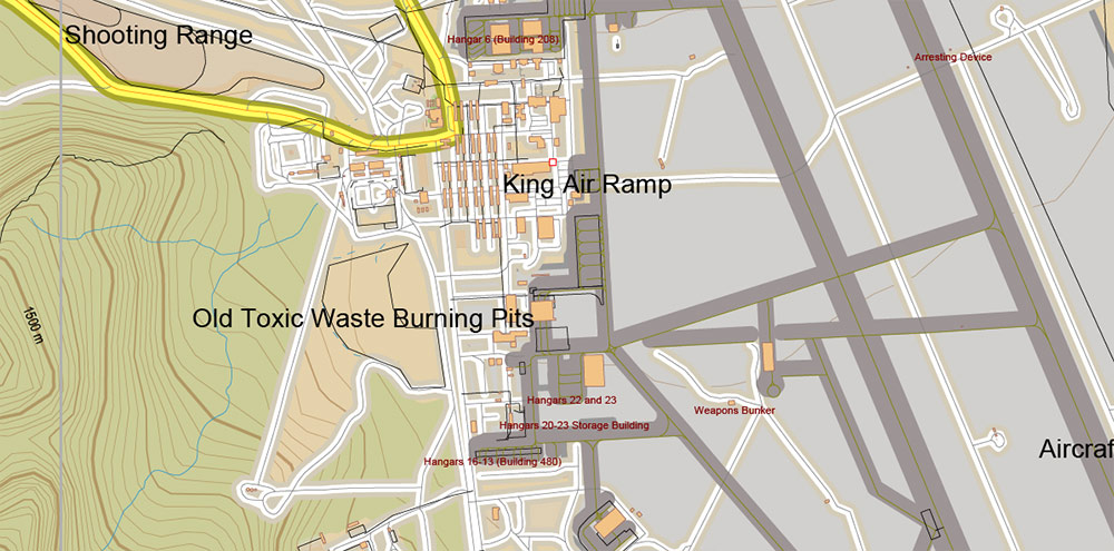
Area 51 (and surround) Nevada US Editable Layered Vector map: Extra High Detailed, with Relief Isolines (5m) Free Download PDF + Illustrator
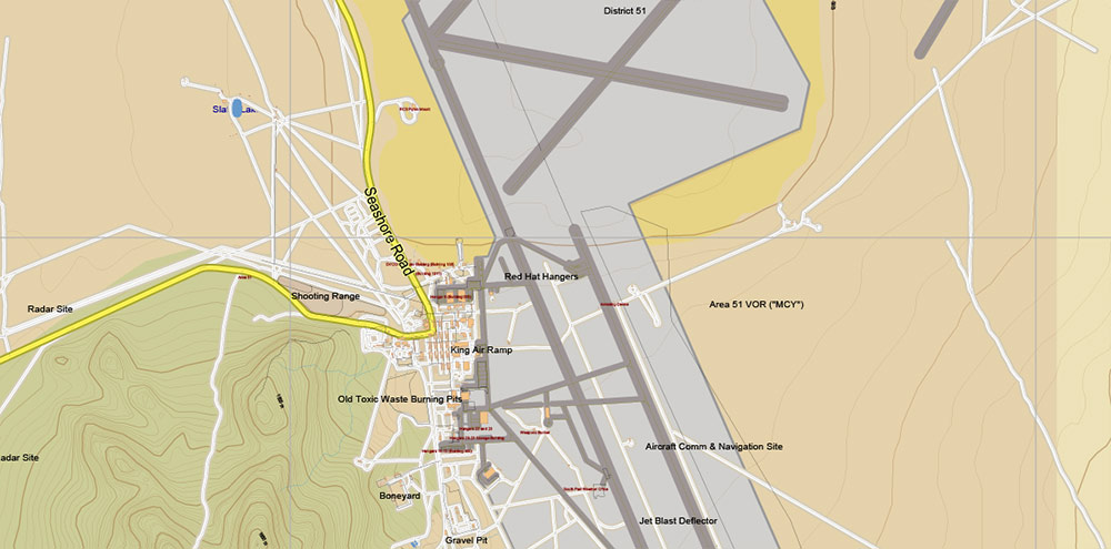
Area 51 (and surround) Nevada US Editable Layered Vector map: Extra High Detailed, with Relief Isolines (5m) Free Download PDF + Illustrator
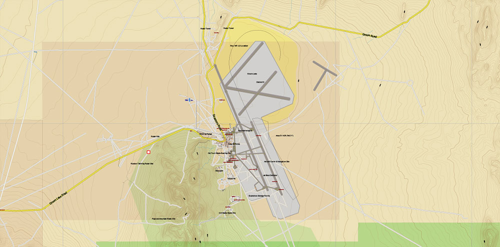
Area 51 (and surround) Nevada US Editable Layered Vector map: Extra High Detailed, with Relief Isolines (5m) Free Download PDF + Illustrator
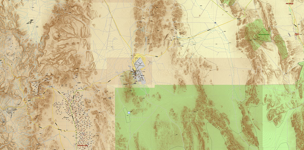
Area 51 (and surround) Nevada US Editable Layered Vector map: Extra High Detailed, with Relief Isolines (5m) Free Download PDF + Illustrator
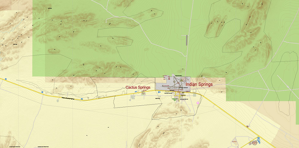
Area 51 (and surround) Nevada US Editable Layered Vector map: Extra High Detailed, with Relief Isolines (5m) Free Download PDF + Illustrator
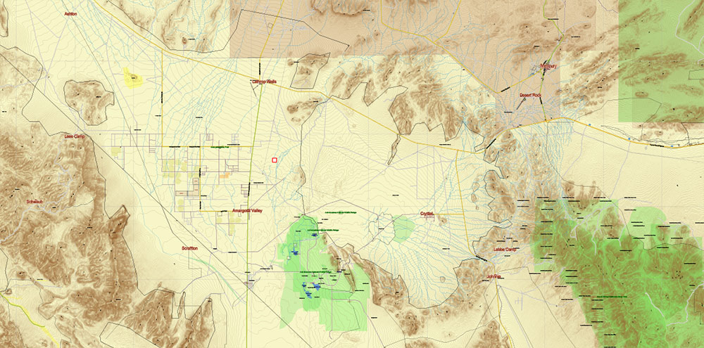
Area 51 (and surround) Nevada US Editable Layered Vector map: Extra High Detailed, with Relief Isolines (5m) Free Download PDF + Illustrator
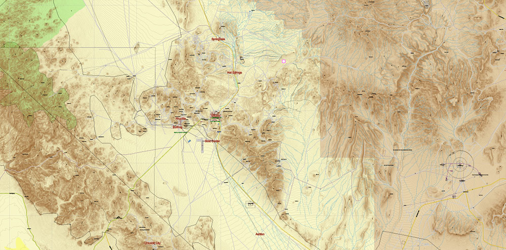
Area 51 (and surround) Nevada US Editable Layered Vector map: Extra High Detailed, with Relief Isolines (5m) Free Download PDF + Illustrator
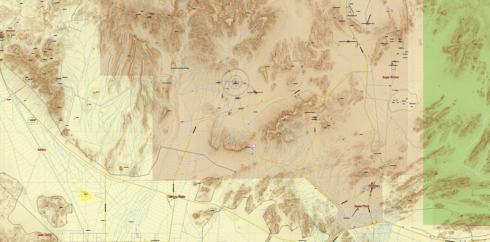
Area 51 (and surround) Nevada US Editable Layered Vector map: Extra High Detailed, with Relief Isolines (5m) Free Download PDF + Illustrator
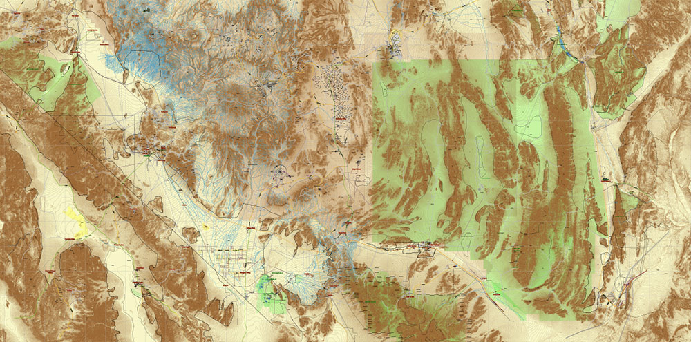
Area 51 (and surround) Nevada US Editable Layered Vector map: Extra High Detailed, with Relief Isolines (5m) Free Download PDF + Illustrator
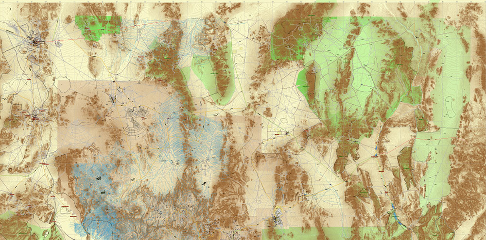
Area 51 (and surround) Nevada US Editable Layered Vector map: Extra High Detailed, with Relief Isolines (5m) Free Download PDF + Illustrator
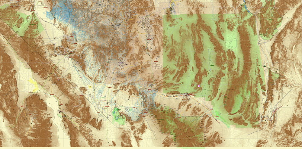
Area 51 (and surround) Nevada US Editable Layered Vector map: Extra High Detailed, with Relief Isolines (5m) Free Download PDF + Illustrator
One of the most mysterious places not only in Nevada, but in the entire USA is becoming Area 51. The place is shrouded in hundreds of stories and legends, and only some of them turn out to be true. But skip the conspiracy theories and move on to what we know about Area 51. It’s a fairly large area, a map of which you can find on our website. We offer a vector map of Area 51 in high resolution and excellent quality, which will help you explore every inch of this territory.
What you will find on our vector map of Area 51
The special feature of a vector map is that it is made up of layers. This method allows the most detailed and accurate data to be depicted on the map. Our vector map of Area 51 shows the following layers:
- Legend of map;
- Grids;
- Names of Airports;
- Points of Airports;
- Names of places (city, hamlet, etc.);
- Points of places;
- Names Known objects;
- Elevation labels;
- Names of Main Streets and Roads;
- Main streets and roads;
- Residential streets and roads;
- Railroads;
- Water objects (areas etc.);
- Waterways;
- Airport runways;
- Relief isolines;
- Land Use Areas;
- Background.
The Area 51 area is mapped with the highest accuracy, and the high resolution of the map allows it to be used both for research purposes and for other tasks.
How to contact us to purchase vector maps
On our website you can find a large number of vector maps that you can download and use for free. But we also have a catalogue with paid vector maps. All of them have a high resolution. Vector maps can be purchased by paying by any convenient way. We also accept individual orders based on the requirements of our customers.
You can ask any questions using our email address, social media or messengers. We have placed all the necessary contacts on every page of our website. We will answer your questions as soon as possible and help you place your order.

 Author: Kirill Shrayber, Ph.D. FRGS