Editable Vector Map of the Allentown + Easton Pennsylvania US in SVG format.
Can be edited in the following programs: Adobe Illustrator, CorelDraw, Inkscape
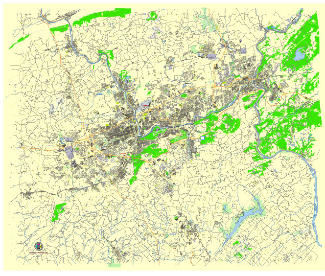
Principal streets and roads, names places, residential streets and roads, road number labels, water objects, landuse areas.
Allentown + Easton Pennsylvania US editable vector map svg free
DOWNLOAD ARCHIVE FOR FREE >>>
Distributed with Creative Commons Attribution 4.0 International License
Allentown and Easton, located in Pennsylvania’s Lehigh Valley, have several principal streets, roads, and city districts that are significant for their historical, commercial, and cultural importance. Here is an overview of the key areas in both cities:
Allentown
Principal Streets and Roads:
- Hamilton Street – A major thoroughfare running east-west through downtown, known for its shops, restaurants, and historical sites.
- Tilghman Street – Another key east-west road that is vital for commercial traffic and access to neighborhoods.
- Union Boulevard – A significant road running parallel to Hamilton Street, providing access to industrial areas and residential districts.
- Cedar Crest Boulevard – A major north-south artery that runs through the western part of the city, connecting to Allentown’s park system.
- 7th Street – Known for its vibrant commercial district, particularly in the Center City area.
- MacArthur Road (Route 145) – A major commercial strip to the north, home to numerous shopping centers and businesses.
City Districts:
- Center City – The heart of Allentown, featuring government buildings, cultural institutions, and businesses.
- West End – Known for its residential neighborhoods, the Allentown Fairgrounds, and Muhlenberg College.
- East Side – A diverse residential area with local businesses and schools.
- South Side – Home to Lehigh Street and Union Terrace Park, with a mix of residential and commercial properties.
- Old Allentown Historic District – Notable for its preserved 19th-century architecture and historic homes.
- Hamilton District – Focused around Hamilton Street, this district is the commercial and cultural core of downtown Allentown.
Easton
Principal Streets and Roads:
- Northampton Street – The main street running through downtown, lined with shops, restaurants, and historical landmarks.
- Third Street – A major north-south road connecting the downtown area to College Hill and beyond.
- Fourth Street – Running parallel to Third Street, it is another important route through the city.
- Sullivan Trail – A significant road that connects Easton to surrounding areas, including Forks Township and Stockertown.
- South Delaware Drive (Route 611) – Following the Delaware River, this road offers scenic views and access to riverfront parks.
City Districts:
- Downtown Easton – The city’s central business district, known for Centre Square, the Crayola Experience, and the State Theatre.
- College Hill – A historic and affluent neighborhood, home to Lafayette College and numerous historic homes.
- South Side – Located across the Lehigh River, it features residential areas and some industrial sites.
- West Ward – A diverse residential district with a mix of housing styles and community parks.
- Bushkill Creek Corridor – An area along the Bushkill Creek with parks, trails, and the Simon Silk Mill redevelopment project.
- Riverview Park – A district along the Delaware River, featuring waterfront parks and recreational facilities.
These streets, roads, and districts form the backbone of Allentown and Easton, shaping their urban landscape and community life.
 Author: Kirill Shrayber, Ph.D. FRGS