Taxonomy: Product Tags for this Vector Map
Extended Description of the Vector Map
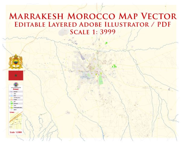
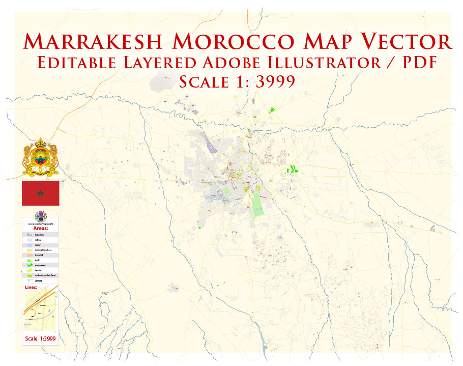
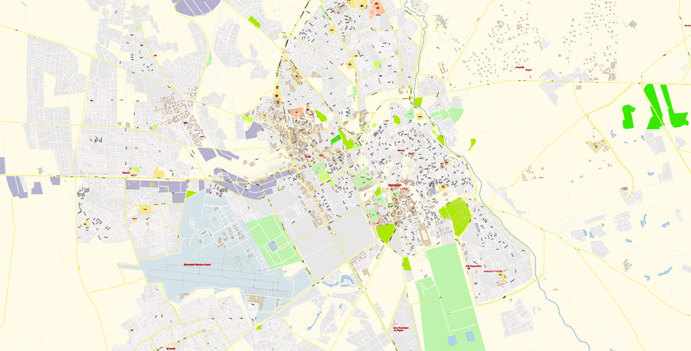
Printable PDF Vector Map of Marrakesh / Marrakech Morocco detailed City Plan scale 100 m 1:3999 full editable Adobe PDF Street Map in layers, scalable, curves/text format all names, 11 MB ZIP
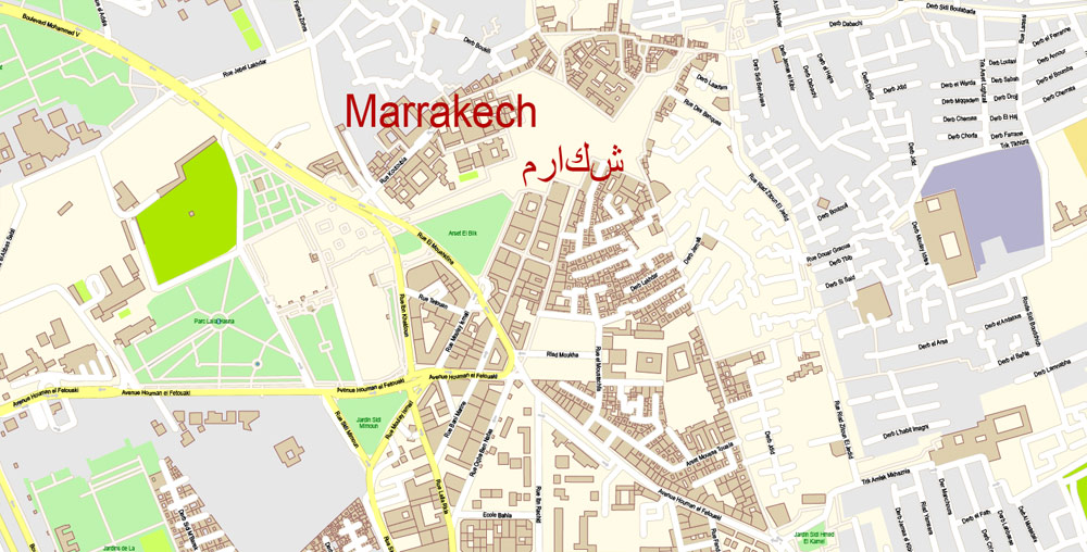
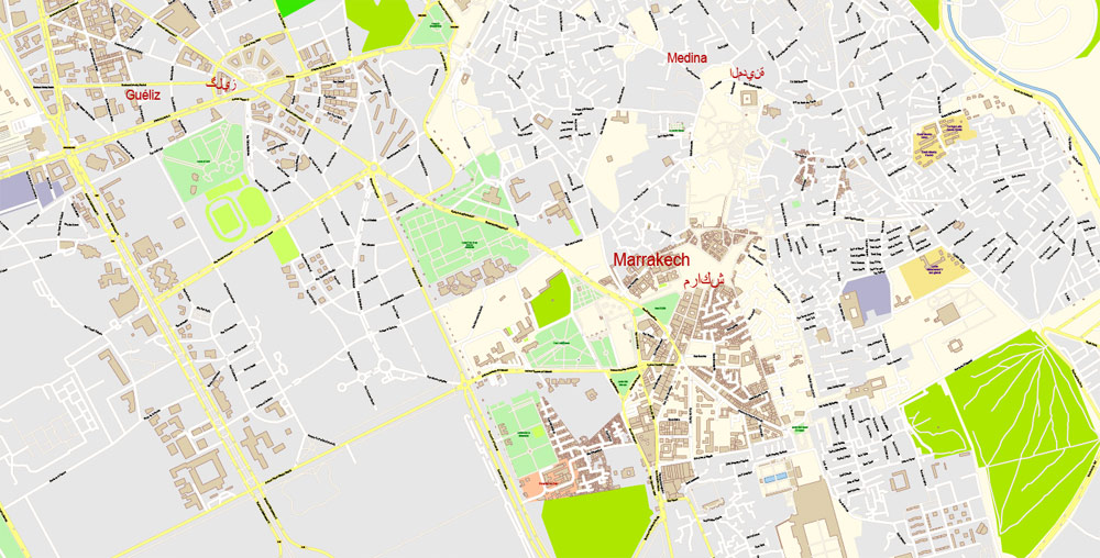
Street names, Main Objects, Buildings. Map for design, printing, arts, projects, presentations, for architects, designers, and builders, business, logistics.
Layers: color_fills, water, streets_roads, labels_roads, names_objects, names_streets, names_places, arrows_streets, buildings, grids, legend, etc.
The most exact and detailed map of the city in scale.
For Editing and High-Quality Printing
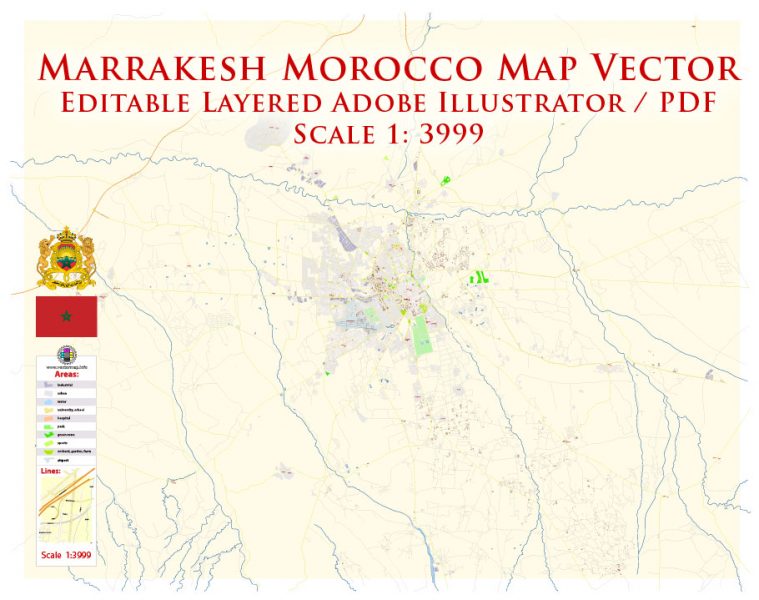
Marrakesh / Marrakech Morocco PDF Map Vector Exact City Plan detailed Street Map editable Adobe PDF in layers
Marrakech — one of the four Imperial cities of Morocco, the third-largest city in the country after Casablanca and Rabat, located in the South-West of the country at the foot of the Atlas mountains. The ancient capital, to which the country owes its name, is called the heart of Morocco.
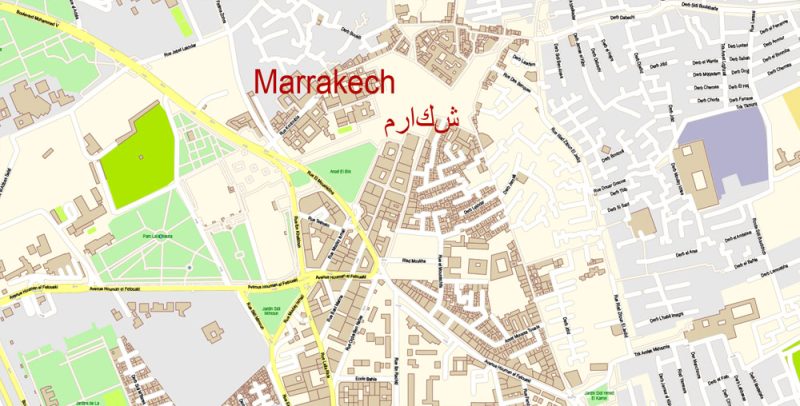
Marrakesh / Marrakech Morocco PDF Map Vector Exact City Plan detailed Street Map editable Adobe PDF in layers
The city was founded in the 1070s by Yusuf Ibn Tashfin, the founder of the Almoravid dynasty, to control the movement of caravans through the Atlas mountains. Very soon Marrakech became an important center of a part of North Africa, up to the borders with Libya.
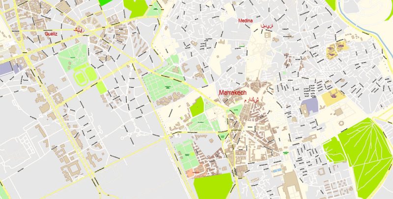
Marrakesh / Marrakech Morocco PDF Map Vector Exact City Plan detailed Street Map editable Adobe PDF in layers
Marrakech attracts not only foreign tourists but also the Moroccans themselves, who come to the ancient city from all over the country. Narrow streets will lead you to the main place of meetings and communication – the famous Jamaa El Fna square, where You will meet street vendors, storytellers, musicians, dancers, fortune tellers, snake charmers. Near the square is one of the attractions of the city – the mosque Kutubia. Its construction was started in the reign of the first ruler of the dynasty of the Almohads – Abdelmoumene. His grandson, Jakub El Mansur, decorated the mosque with a beautiful minaret, which has survived to the present day. Koutoubia mosque, Dating from the XI century is a work of Spanish-Moorish art. Its minaret rises more than 70 meters.
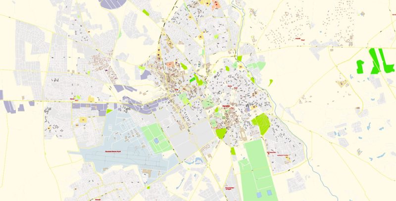
Marrakesh / Marrakech Morocco PDF Map Vector Exact City Plan detailed Street Map editable Adobe PDF in layers
Undoubtedly, it is worth visiting the center of Marrakech – Medina. Here is the Palace of Bahia – one of the most beautiful works of architecture of the Islamic world. Ruler Ahmed El Mansour Dabi founded this Palace on the occasion of the victory over the Portuguese in 1578 (in the so-called battle Of the Three Kings). The Dar si said Museum houses many ancient works of Moroccan art and ornaments of gold and marble collected by Ahmed El Mansour (1578-1603). It is worth seeing the building of Madrassah Ben Yusuf, founded in 1570 and is a real masterpiece of architecture of the Merinid Era.
In the XII century were laid Gardens of Agdal and created an artificial lake Menara, which gives a special romance walks in Marrakech. This city knows how to attract tourists. But it is especially interesting in Marrakech during the Festival, when everything is subordinated to the rhythm of music and emotions of incendiary dances reign.
Be sure to find the opportunity to visit the surroundings of Marrakech. You will be able to see the sunrise coming from behind the majestic Atlas mountains. In the South there are still small Berber villages, where people live as their ancestor’s hundreds of years ago, far from civilization, existing at the expense of their small economy. To the East of Marrakech, You will see beautiful waterfalls, cascading from a height of more than 100 meters beautiful cascades. There is also an amazing phenomenon – created by the very nature of the Bridge Imi-En-Ifri – “the Gates of the abyss.”
 If you have any questions, please, feel free
 We accept PayPal and all Debit or Credit Cards | Instantly Download Your Map after payment.


 Author: Kirill Shrayber, Ph.D.