Extended Description of the Vector Map
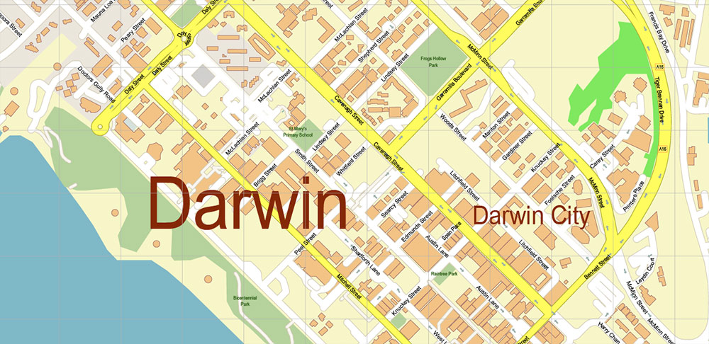
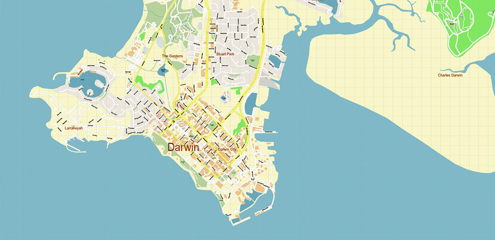
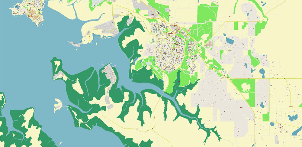
PDF Map of Darwin, is the capital of Australia’s Northern Territory and a former frontier outpost. 170 kilometers from the city lies the huge Kakadu National Park. The coastal part of the city is home to several beaches and parks, including the Bicentennial Park. The Northern Territory Museum and Art Gallery is nearby. The exposition presents the art of the peoples of Southeast Asia and the Pacific region. In the port of Darwin, various vessels are always moored at the berths, including those intended for pearling.
Area: 3,164 km²
Date of foundation: 1869
Population: 133,153
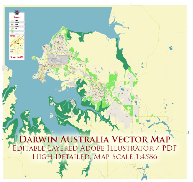
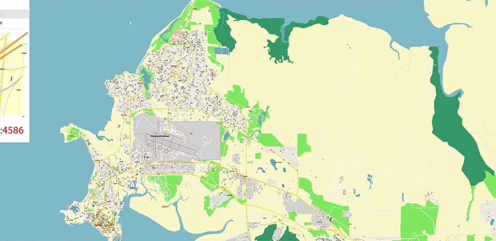
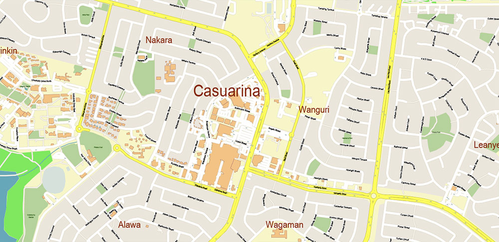
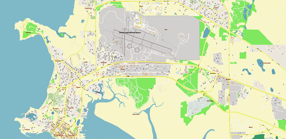
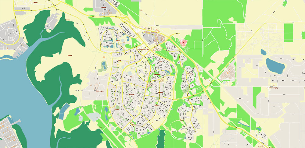
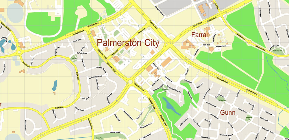
Darwin Australia PDF Vector Map: City Plan High Detailed Street Map editable Adobe PDF in layers
Printable PDF Vector Map of Darwin Australia Area High Detailed City Plan scale 1:4586 full editable Adobe PDF Street Map in layers, scalable, text/curves format all names, 16 MB ZIP
All street names, Main Objects, Buildings. Map for design, printing, arts, projects, presentations, for architects, designers, and builders, business, logistics.
Also: We can add (additional layer for this map), any other objects for you. It’s free for our customers.
Also: We can add the RELIEF (Topo Isolines or shaded relief)
If you need any OTHER format – DWG, DXF, Corel, or something else – please, email us
Darwin Australia PDF Vector Map: City Plan High Detailed Street Map editable Adobe PDF in layers
Layers list:
- Legend
- Grids
- Labels of roads
- Names of places (city, hamlet, etc.)
- Names of objects (hospitals, parks, water)
- Names of main streets
- Names of residential streets
- Arrows of street directions
- Main Streets, roads
- Residential streets
- Railroads
- Buildings
- Waterways
- Water objects (rivers, lakes, ponds, marshes)
- Airports and Heliports
- Color fills (parks, hospital areas, land use, etc.)
- Islands
- Sea
- Background
Darwin Australia PDF Vector Map: City Plan High Detailed Street Map editable Adobe PDF in layers
Darwin Australia PDF Vector Map: City Plan High Detailed Street Map editable Adobe PDF in layers
Darwin Australia PDF Vector Map: City Plan High Detailed Street Map editable Adobe PDF in layers
Darwin Australia PDF Vector Map: City Plan High Detailed Street Map editable Adobe PDF in layers
Darwin Australia PDF Vector Map: City Plan High Detailed Street Map editable Adobe PDF in layers
Darwin Australia PDF Vector Map: City Plan High Detailed Street Map editable Adobe PDF in layers
Darwin Australia PDF Vector Map: City Plan High Detailed Street Map editable Adobe PDF in layers

 Author: Kirill Shrayber, Ph.D. FRGS
