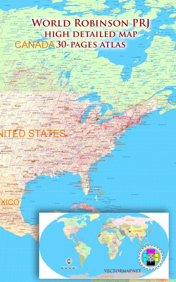
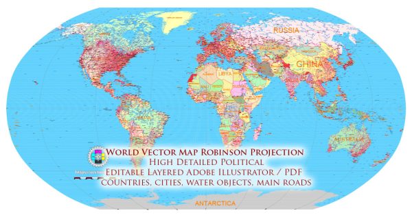
World Robinson Projection Map: PDF and Adobe Illustrator

Map — World Robinson Projection Map Pdf And Adobe Illustrator

A clean map of World Robinson Projection Map Pdf And Adobe Illustrator with named layers and consistent geometry for fast cartographic work. The file accepts custom grids, legends and callouts without redrawing base content. District and neighborhood labels are arranged to avoid collisions around dense cores. Layer structure separates arterials and locals, districts, hydrography, parks and landmarks. Coordinates and scales are prepared for sheet production and consistent exports. Waterfronts and parks receive extra separation for better contrast on light palettes.

Saves prepress time by reducing manual fixes and keeping the visual system consistent. Use it for visitor guides, city infographics, investment decks and municipal communications. Files remain compact thanks to clean geometry and disciplined labeling. Editors can brand the palette and icons, then export sharp results for both print and web.

The Robinson projection is a map projection of a world map which shows the entire world at once. It was specifically created in an attempt to find a good compromise to the problem of readily showing the whole globe as a flat image.

The Robinson projection was devised by Arthur H. Robinson in 1963 in response to an appeal from the Rand McNally company, which has used the projection in general-purpose world maps since that time. Robinson published details of the projection’s construction in 1974. The National Geographic Society (NGS) began using the Robinson projection for general-purpose world maps in 1988, replacing the Van der Grinten projection.[2] In 1998 NGS abandoned the Robinson projection for that use in favor of the Winkel tripel projection, as the latter “reduces the distortion of land masses as they near the poles”

Author: Kirill Shrayber, Ph.D.

I have been working with vector cartography for over 25 years, including GPS, GIS, Adobe Illustrator and other professional cartographic software.
Linkedin: https://www.linkedin.com/in/kirill-shrayber-0b839325/
Twitter: https://twitter.com/vectormapper

Are we missing some maps? Let us know!!!
What map do you need?

    We will upload it within the next 24 hours and notify you by Email.

    Menu