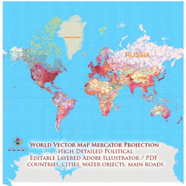
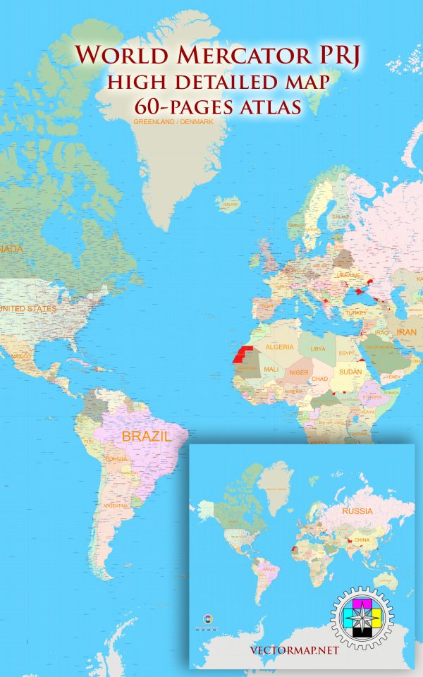
Mercator is a conformal cylindrical map projection that was originally created to display accurate compass bearings for sea travel. An additional feature of this projection is that all local shapes are accurate and correctly defined at infinitesimal scale. It was presented by Gerardus Mercator in 1569.
Map — World Mercator Projection Map Pdf And Adobe Illustrator
An editable map of World Mercator Projection Map Pdf And Adobe Illustrator designed as a dependable base for print and digital layouts. Coordinates and scales are prepared for sheet production and consistent exports. Bridges, tunnels and ferry lines are isolated so routes remain legible after recolor. Named layers let you restyle colors, line weights and label classes without cleanup passes. District and neighborhood labels are arranged to avoid collisions around dense cores. Crisp vectors preserve edges at high DPI and export compactly for web delivery.
Use it for visitor guides, city infographics, investment decks and municipal communications. Works well as an underlay for wayfinding, transport schemes and editorial layouts. Export presets help maintain crisp strokes on both coated and uncoated paper. Editors can brand the palette and icons, then export sharp results for both print and web.


 Author: Kirill Shrayber, Ph.D. FRGS