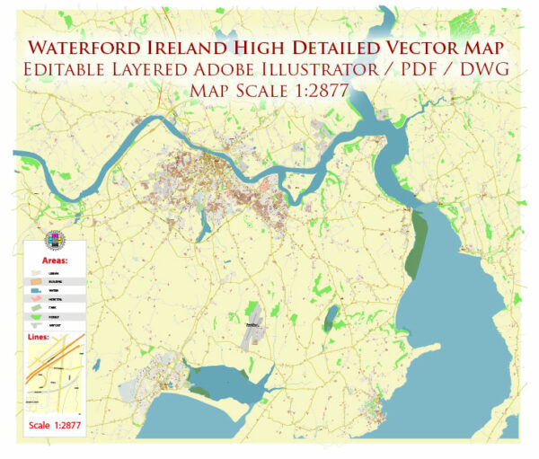
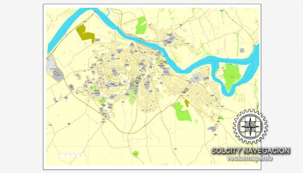
Vector Maps of the Waterford : seaport in southeast Ireland, is the country’s oldest city. It was founded by Vikings in 914 A.D. and parts of its ancient walled core remain. Within Reginald’s Tower, a circa-1003 fortification, the Waterford Museum of Treasures displays local archaeological finds. Famed glass manufacturer Waterford Crystal began here in 1783. Today the company’s facility near the historic district offers factory tours.
Area: 48.3 km²
Download royalty free, editable vector maps of Waterford Ireland in high resolution digital PDF and Adobe Illustrator format.
Map — Waterford Ireland City Vector Map
An accurate map of Waterford Ireland City Vector Map that keeps hierarchy under control when scaling from A3 to A0. Named layers let you restyle colors, line weights and label classes without cleanup passes. The file accepts custom grids, legends and callouts without redrawing base content. Bridges, tunnels and ferry lines are isolated so routes remain legible after recolor. Layer structure separates arterials and locals, districts, hydrography, parks and landmarks. Waterfronts and parks receive extra separation for better contrast on light palettes.
Use it for visitor guides, city infographics, investment decks and municipal communications. Works well as an underlay for wayfinding, transport schemes and editorial layouts. Color systems can be swapped quickly to match seasonal or brand variants. Editors can brand the palette and icons, then export sharp results for both print and web.


 Author: Kirill Shrayber, Ph.D. FRGS