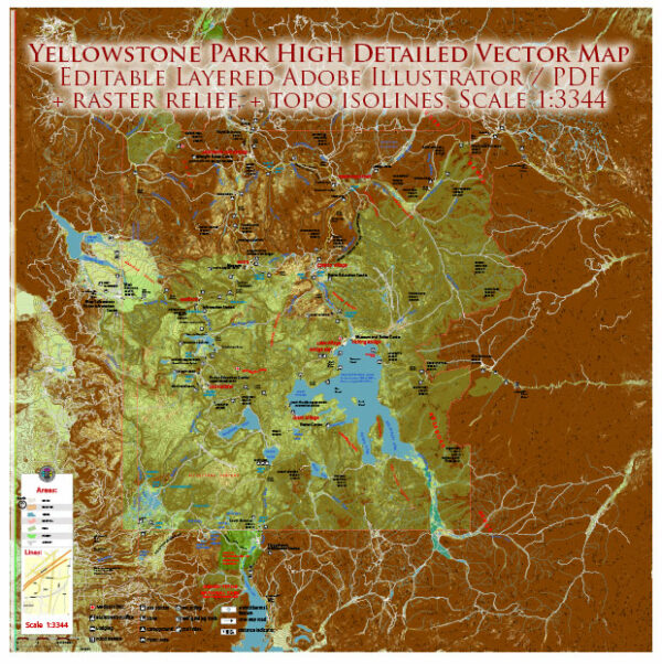
Yellowstone National Park, located primarily in the U.S. state of Wyoming, is renowned for its stunning natural features, including rivers and lakes. Here are some notable rivers and lakes within Yellowstone National Park:
Rivers:
- Yellowstone River:
- The Yellowstone River is the longest undammed river in the contiguous United States.
- It flows for more than 670 miles, originating outside the park in Yellowstone Lake and eventually joining the Missouri River.
- Within the park, the river showcases picturesque canyons, waterfalls, and diverse wildlife along its banks.
- Madison River:
- Originating in the Yellowstone National Park, the Madison River is known for its pristine waters and excellent fishing opportunities.
- It flows westward through the park and beyond, eventually joining the Missouri River.
- Gardner River:
- This river flows through the northwestern part of the park and merges with the Yellowstone River.
- It is known for the scenic Gardner Canyon and the Boiling River, where a hot spring enters the Gardner River, creating a unique thermal experience.
Lakes:
- Yellowstone Lake:
- The largest high-altitude lake in North America, Yellowstone Lake is situated at an elevation of 7,732 feet.
- It covers over 130 square miles and is surrounded by geothermal features, including the West Thumb Geyser Basin.
- The lake is home to various species of fish, and its pristine waters offer stunning reflections of the surrounding mountains.
- Lewis Lake:
- Located in the southern part of the park, Lewis Lake is the third-largest lake in Yellowstone.
- It is known for its beautiful scenery and is a popular spot for boating, fishing, and camping.
- Shoshone Lake:
- Shoshone Lake is one of the largest backcountry lakes in the park, accessible by hiking, horseback riding, or paddling.
- It offers a more remote and serene experience, surrounded by forests and meadows.
- Heart Lake:
- Nestled in the remote southwestern part of the park, Heart Lake is known for its isolation and pristine wilderness.
- The Heart Lake Geyser Basin, located on its southern shore, adds to the unique geothermal features of the area.
These rivers and lakes contribute to the diverse and breathtaking landscapes that make Yellowstone National Park a natural wonder and a haven for outdoor enthusiasts.


 Author: Kirill Shrayber, Ph.D. FRGS