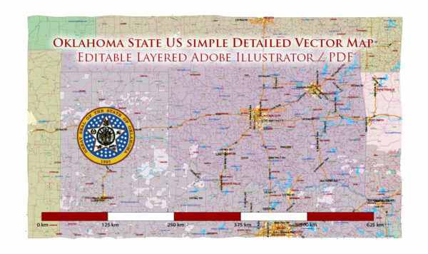
A general overview of the demographics of Oklahoma.
Vectormap.Net provide you with the most accurate and up-to-date vector maps in Adobe Illustrator, PDF and other formats, designed for editing and printing. Please read the vector map descriptions carefully.
Population: As of the 2023 United States Census, Oklahoma had an estimated population of around 3.96 million people. The state’s population has been steadily growing, but growth rates may vary in different regions.
Age Distribution: Oklahoma, like many other states, has a diverse age distribution. The age demographics include a mix of young and older residents. Urban areas tend to have a younger population, while rural areas may have a higher percentage of older individuals.
Ethnicity and Race: Oklahoma is a diverse state with a mix of ethnic and racial backgrounds. The largest ethnic groups include White, African American, Native American, Hispanic or Latino, Asian, and others. The state has a significant Native American population, with many tribes having historical ties to the region.
Religion: Religious affiliations in Oklahoma are diverse, with a majority of the population identifying as Christian. Various denominations, including Protestant and Catholic, are present. Additionally, there are smaller communities representing other faiths, as well as individuals who may identify as non-religious.
Education: Oklahoma has a range of educational institutions, including universities, colleges, and technical schools. The state’s educational attainment levels vary, with a portion of the population having completed high school, and others holding bachelor’s or advanced degrees.
Economy: Oklahoma’s economy historically has ties to agriculture, energy, and manufacturing. The state is a significant producer of oil and natural gas, and the energy sector plays a crucial role in its economy. Agriculture also contributes, with products like wheat, cattle, and poultry being important.
Urban vs. Rural: Oklahoma has a mix of urban and rural areas. Cities like Oklahoma City and Tulsa are the primary urban centers, with a more diverse and densely populated demographic. Rural areas may have a more agriculture-oriented population and often represent a more traditional way of life.
Language: English is the predominant language spoken in Oklahoma. While there may be communities where other languages are spoken, especially within Native American reservations, English is the official language.
Keep in mind that demographic data can change, and for the most up-to-date information, you should refer to the latest census reports or other reliable sources.


 Author: Kirill Shrayber, Ph.D. FRGS