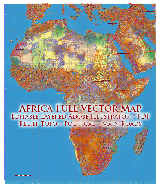
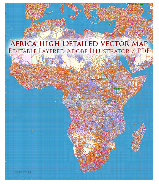
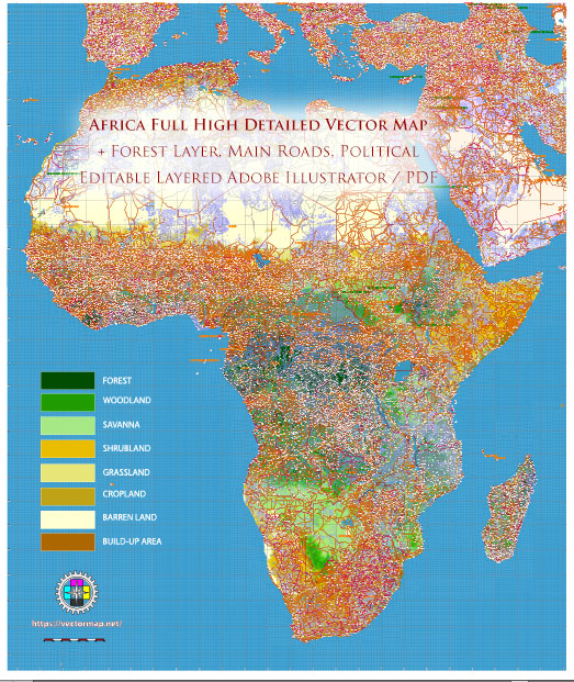
Africa is a vast and diverse continent with 54 recognized countries, each with its own unique political landscape and road infrastructure.
Vectormap.Net provide you with the most accurate and up-to-date vector maps in Adobe Illustrator, PDF and other formats, designed for editing and printing. Please read the vector map descriptions carefully.
Here is a general overview:
Political Landscape:
- Regions and Organizations:
- Northern Africa: Countries like Egypt, Libya, Algeria, Morocco, and Tunisia are part of the Arab League and have historical ties to the Arab world.
- Western Africa: Nigeria, Ghana, Senegal, and others are part of the Economic Community of West African States (ECOWAS).
- Eastern Africa: Ethiopia, Kenya, Tanzania, and others are part of the Intergovernmental Authority on Development (IGAD).
- Southern Africa: South Africa, Zimbabwe, Zambia, and others are members of the Southern African Development Community (SADC).
- Political Systems:
- Africa has diverse political systems, ranging from democracies to authoritarian regimes. Some countries have experienced political instability, while others have seen improvements in governance.
- Challenges:
- Several African countries face challenges such as poverty, corruption, ethnic tensions, and conflicts, impacting political stability and development.
Road Infrastructure:
- Road Networks:
- Africa has an extensive road network, but the quality and connectivity vary between countries. Developed regions often have well-maintained highways, while rural areas may have limited or poor road infrastructure.
- Transportation Modes:
- Road transport is a crucial mode of transportation in Africa, connecting cities, towns, and rural areas. Some countries also have well-established railway systems.
- Challenges:
- Many African countries face challenges in maintaining and expanding road infrastructure due to limited resources, topographical obstacles, and political instability.
- Key Roads and Highways:
- Examples of important roads include the Trans-Sahara Highway, which crosses North Africa, and the Trans-African Highway network, a project of the United Nations Economic Commission for Africa (UNECA) aiming to connect countries across the continent.
- Development Projects:
- Some countries and regional organizations are investing in infrastructure development projects to improve road networks and facilitate economic growth.
It’s important to note that the information provided is a broad overview, and the political and road situations in individual African countries may have evolved since my last update. For the latest and more specific information, it is recommended to refer to recent sources or official government publications.


 Author: Kirill Shrayber, Ph.D. FRGS