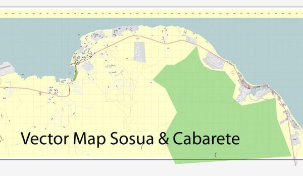
Vector Maps of the Sosúa : beach town in the Puerto Plata province of the Dominican Republic. Located approximately 4 miles from the Gregorio Luperón International Airport in San Felipe de Puerto Plata.
Area: 276.9 km²
Vector Maps of the Cabarete : resort town on the Dominican Republic’s northern coast. Cabarete Bay is protected by a coral reef. The calm waters, combined with breezy conditions on beaches like Cabarete and Kite, make it a center for water sports. North along the coast, Encuentro Beach is known for its surf breaks. Restaurants and bars cluster along Calle Principal, the town’s main street, near the waterfront.
Download royalty free, editable vector maps of Sosúa and Cabarete Dominican Republic in high resolution digital PDF and Adobe Illustrator format.
Map — Sosua Cabarete Dominicana City Vector Map
An editable map of Sosua Cabarete Dominicana City Vector Map designed as a dependable base for print and digital layouts. Waterfronts and parks receive extra separation for better contrast on light palettes. Crisp vectors preserve edges at high DPI and export compactly for web delivery. Bridges, tunnels and ferry lines are isolated so routes remain legible after recolor. District and neighborhood labels are arranged to avoid collisions around dense cores. Contours and landuse layers can be toggled to match tourism or planning use cases.
Works well as an underlay for wayfinding, transport schemes and editorial layouts. Saves prepress time by reducing manual fixes and keeping the visual system consistent. Files remain compact thanks to clean geometry and disciplined labeling. Keeps labels readable while allowing deep customization of routes and highlights.


 Author: Kirill Shrayber, Ph.D. FRGS