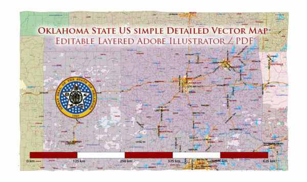
Oklahoma, located in the Southern United States, experiences a diverse climate with characteristics of both continental and subtropical climates. The state is known for its wide temperature variations, frequent severe weather, and occasional droughts.
Vectormap.Net provide you with the most accurate and up-to-date vector maps in Adobe Illustrator, PDF and other formats, designed for editing and printing. Please read the vector map descriptions carefully.
Here’s a detailed description of Oklahoma’s climate:
- Temperature:
- Summer: Summers in Oklahoma are typically hot and humid. High temperatures often exceed 90°F (32°C), and occasionally reach above 100°F (38°C). Heatwaves are common during this season.
- Winter: Winters are relatively mild compared to some northern states, but they can still be quite cold. Average temperatures range from around 30°F to 50°F (-1°C to 10°C). Cold fronts can bring occasional freezing temperatures and snowfall, especially in the northern and western parts of the state.
- Precipitation:
- Rainfall: Oklahoma receives a moderate amount of rainfall, averaging between 30 to 40 inches (76 to 102 cm) annually. The eastern part of the state generally receives more precipitation than the western part.
- Snowfall: Snowfall is not uncommon, especially in the northern and western regions. However, the amount of snow is typically less compared to states in the northern part of the country.
- Humidity:
- Humidity levels are relatively high, especially during the summer months. The increased humidity can contribute to the discomfort during hot summer days.
- Tornadoes and Severe Weather:
- Oklahoma is part of “Tornado Alley,” a region in the central United States known for a high frequency of tornadoes. Spring and early summer are peak tornado seasons, and severe weather, including thunderstorms and hailstorms, is common during this time.
- Drought:
- Oklahoma is susceptible to drought conditions, particularly in the western parts of the state. Droughts can have significant impacts on agriculture and water resources.
- Wind:
- Oklahoma is known for its windy conditions. Strong winds are common, and the state has vast areas of flat terrain that contribute to the development of wind energy projects.
- Biogeography:
- The eastern part of Oklahoma has more forests and is part of the Ozark Plateau. The western part has more prairies and is part of the Great Plains.
- Seasonal Changes:
- The state experiences distinct seasons. Spring brings blooming vegetation and an increased risk of severe weather. Summers are hot, with occasional thunderstorms. Fall is characterized by cooler temperatures and colorful foliage. Winters can be cold, with the possibility of snow and ice.
Overall, Oklahoma’s climate is characterized by its variability, with both warm and cold extremes throughout the year. The diverse geography of the state contributes to these climate variations, making it a region of climatic contrasts.


 Author: Kirill Shrayber, Ph.D. FRGS