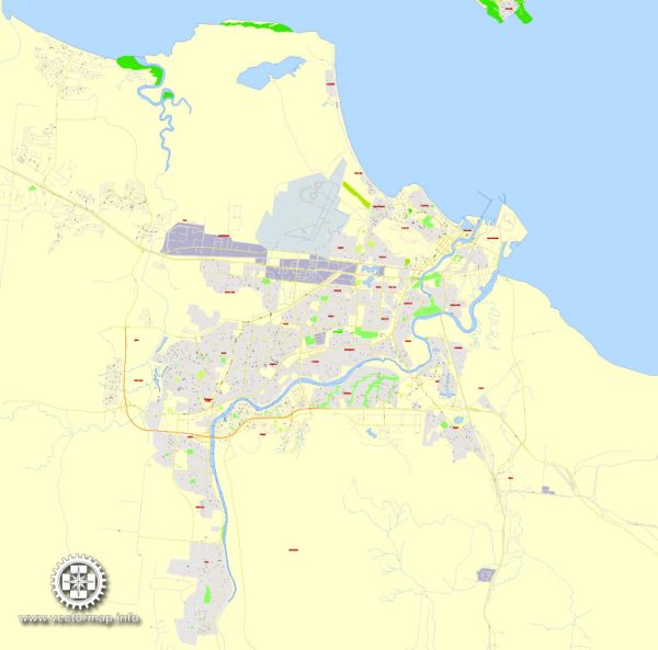
Vector Maps of the Townsville : coastal city in northeastern Queensland, Australia. The Strand esplanade, with its pier and water park, is popular. The Reef HQ Aquarium has marine life and coral from the Great Barrier Reef, plus a sea turtle hospital. Southeast of the city, the Billabong Sanctuary wildlife park is home to koalas, wombats and crocodiles. Offshore, Magnetic Island has coral reefs and a national park full of wildlife.
Area: 693.3 km²
Founded: 1865
Download royalty free, editable vector maps of Townsville Queensland Australia in high resolution digital PDF and Adobe Illustrator format.
Printable Map — Townsville Australia
An accurate printable map of Townsville Australia that keeps hierarchy under control when scaling from A3 to A0. The file accepts custom grids, legends and callouts without redrawing base content. Coordinates and scales are prepared for sheet production and consistent exports. Bridges, tunnels and ferry lines are isolated so routes remain legible after recolor. Typography spacing is tuned for quick reading on posters, brochures and reports. Layer structure separates arterials and locals, districts, hydrography, parks and landmarks.
Saves prepress time by reducing manual fixes and keeping the visual system consistent. Use it for visitor guides, city infographics, investment decks and municipal communications. Legibility holds up on handheld leaflets and large lobby posters alike. Keeps labels readable while allowing deep customization of routes and highlights.


 Author: Kirill Shrayber, Ph.D. FRGS