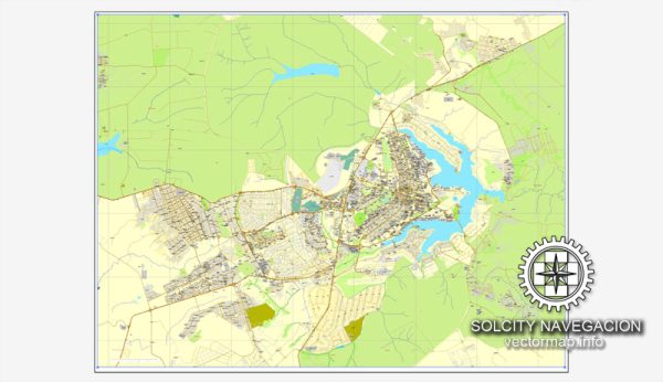
Vector Maps of the Brasília : inaugurated as Brazil’s capital in 1960, is a planned city distinguished by its white, modern architecture, chiefly designed by Oscar Niemeyer. Laid out in the shape of an airplane, its “fuselage” is the Monumental Axis, 2 wide avenues flanking a massive park. In the “cockpit” is Praça dos Três Poderes, named for the 3 branches of government surrounding it.
Founded: April 21, 1960
Elevation: 1,172 m
Area: 5,802 km²
Download royalty free, editable vector maps of Brasília Brazil in high resolution digital PDF and Adobe Illustrator format.
Mapa para impressão — Brasilia City Brazil
Um mapa para impressão pronto para produção de Brasilia City Brazil, com saída previsível em vários formatos. Vetores nítidos preservam bordas em alto DPI e exportam arquivos compactos para web. Camadas nomeadas permitem recolorir, ajustar espessuras e classes de rótulos sem retrabalho. Pontes e túneis ficam isolados para rotas legíveis após recolorir. As camadas separam vias arteriais e locais, distritos, hidrografia, parques e marcos. O espaçamento tipográfico foi calibrado para leitura rápida em pôsteres e folhetos.
Útil para guias, infográficos urbanos, apresentações e comunicação pública. Funciona como base para wayfinding, esquemas de transporte e layouts editoriais. Presets de exportação mantêm traços nítidos em papéis revestidos e não revestidos. Confiável como camada base e fácil de adaptar quando o projeto muda. A paleta pode ser trocada rapidamente para variações de marca.


 Author: Kirill Shrayber, Ph.D. FRGS