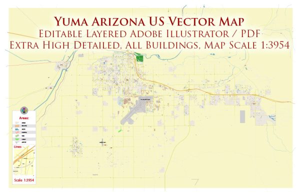
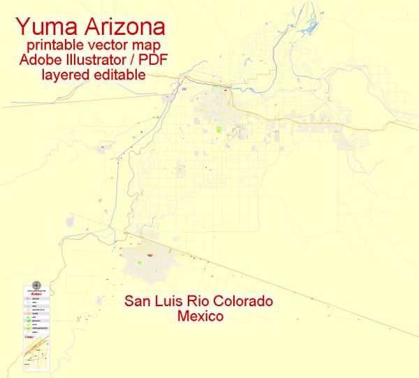
Vector Maps of the Yuma : city, seat (1871) of Yuma county, southwestern Arizona, U.S. It is situated on the Colorado River at the mouth of the Gila River, just north of the Mexican frontier. Founded in 1854 as Colorado City, it was renamed Arizona City (1862) and Yuma (1873), probably from the Spanish word humo, meaning “smoke,” because of the local Quechan (Yuma) practice of creating smoke clouds to induce rain. A strategic river crossing, the site was probably visited in 1540 by Hernando de Alarcón (working with the Coronado expedition).
Area:
• City: 120.84 sq mi (312.97 km2)
• Land: 120.77 sq mi (312.79 km2)
• Water: 0.07 sq mi (0.18 km2) 0.07%
Elevation: 141 ft (43 m)
Instant download archives: royalty free, editable vector maps of Yuma Arizona in high resolution digital PDF and Adobe Illustrator format.
Vectormap.Net provide you with the most accurate and up-to-date vector maps in Adobe Illustrator, PDF and other formats, designed for editing and printing. Please read the vector map descriptions carefully.
All of our editable Yuma Arizona vector maps are digital files,
which can be instantly downloaded in editable PDF or Adobe Illustrator format.
Objects on maps are usually divided into layers according to their types – lines, polygons, street names, object names (see map description!!!!)
Each of our Yuma Arizona digital maps is available in Adobe Illustrator or editable PDF format, (or on request in any other known format for the same price)
which use a vector approach to display images,
you can easily enlarge any part of our maps without compromising text, line or graphic quality,
with any increase or decrease ratio.
Using a vector graphics editor such as Adobe Illustrator, CorelDraw, Inkscape, or Freehand
you can easily crop parts of the map, add custom characters, and change colors and font attributes as needed.
We have a variety of Yuma Arizona vector maps with different levels of detail, from simple empty paths to highly detailed maps with roads and terrain layers.
Don’t see exactly what you’re looking for? Contact us to receive a special offer for an individual Yuma Arizona map for your project.


 Author: Kirill Shrayber, Ph.D. FRGS