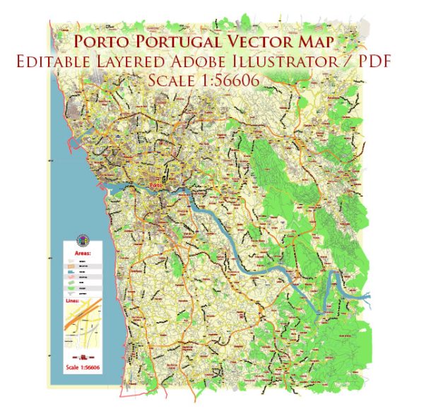
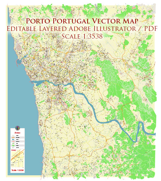
Vector Maps of the Porto : coastal city in northwest Portugal known for its stately bridges and port wine production. In the medieval Ribeira (riverside) district, narrow cobbled streets wind past merchants’ houses and cafes. São Francisco Church is known for its lavish baroque interior with ornate gilded carvings. The palatial 19th-century Palácio de Bolsa, formerly a stock market, was built to impress potential European investors.
Area: 41.42 km²
Founded: 1123
Elevation: 104 m
Download royalty free, editable vector maps of Porto Portugal in high resolution digital PDF and Adobe Illustrator format.
PDF Map — Porto Portugal
An accurate PDF map of Porto Portugal that keeps hierarchy under control when scaling from A3 to A0. Coordinates and scales are prepared for sheet production and consistent exports. Crisp vectors preserve edges at high DPI and export compactly for web delivery. Contours and landuse layers can be toggled to match tourism or planning use cases. Waterfronts and parks receive extra separation for better contrast on light palettes. Named layers let you restyle colors, line weights and label classes without cleanup passes.
Use it for visitor guides, city infographics, investment decks and municipal communications. Saves prepress time by reducing manual fixes and keeping the visual system consistent. Export presets help maintain crisp strokes on both coated and uncoated paper. Keeps labels readable while allowing deep customization of routes and highlights. Color systems can be swapped quickly to match seasonal or brand variants.


 Author: Kirill Shrayber, Ph.D. FRGS