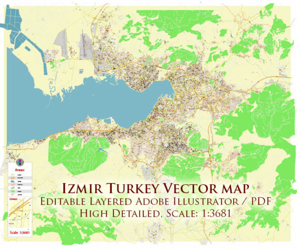
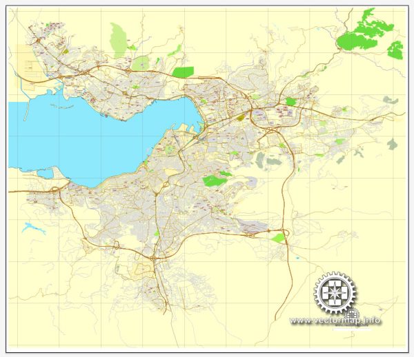
Vector Maps of the Izmir : city on Turkey’s Aegean coast. Known as Smyrna in antiquity, it was founded by the Greeks, taken over by the Romans and rebuilt by Alexander the Great before becoming part of the Ottoman Empire in the 15th century. Today, its expansive archaeological sites include the Roman Agora of Smyrna, now an open-air museum. The hilltop Kadifekale, or Velvet Castle, built during Alexander’s reign, overlooks the city.
Area: 11,891 km²
Elevation: 2 m
Download royalty free, editable vector maps of Izmir Turkey in high resolution digital PDF and Adobe Illustrator format.
PDF Map — Izmir Turkey
An editable PDF map of Izmir Turkey designed as a dependable base for print and digital layouts. Named layers let you restyle colors, line weights and label classes without cleanup passes. Crisp vectors preserve edges at high DPI and export compactly for web delivery. The file accepts custom grids, legends and callouts without redrawing base content. District and neighborhood labels are arranged to avoid collisions around dense cores. Typography spacing is tuned for quick reading on posters, brochures and reports.
Works well as an underlay for wayfinding, transport schemes and editorial layouts. Saves prepress time by reducing manual fixes and keeping the visual system consistent. Color systems can be swapped quickly to match seasonal or brand variants. Keeps labels readable while allowing deep customization of routes and highlights. The map integrates neatly with common DTP and GIS workflows.


 Author: Kirill Shrayber, Ph.D. FRGS