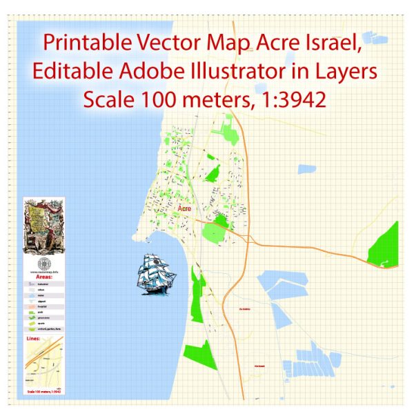
Vector Maps of the Acre (Akko) : port city in northwest Israel, on the Mediterranean coast. It’s known for its well-preserved old city walls. In a tunnel in the walls is the Treasures in the Walls Ethnographic Museum, depicting daily life from the Ottoman times to the 20th century. The mosaic-covered Or Torah (Tunisian) Synagogue has 7 torah arks. The 18th-century Al-Jazzar Mosque has marble pillars and underground pools.
Area: 10.3 km²
Download royalty free, editable vector maps of Acre Israel in high resolution digital PDF and Adobe Illustrator format.
PDF Map — Acre Israel
A production‑ready PDF map of Acre Israel built for clear labeling and predictable output across sizes. Contours and landuse layers can be toggled to match tourism or planning use cases. Bridges, tunnels and ferry lines are isolated so routes remain legible after recolor. District and neighborhood labels are arranged to avoid collisions around dense cores. Coordinates and scales are prepared for sheet production and consistent exports. Crisp vectors preserve edges at high DPI and export compactly for web delivery.
Ideal for signage, event maps, campus leaflets and waterfront brochures. Use it for visitor guides, city infographics, investment decks and municipal communications. Files remain compact thanks to clean geometry and disciplined labeling. Keeps labels readable while allowing deep customization of routes and highlights. Color systems can be swapped quickly to match seasonal or brand variants.


 Author: Kirill Shrayber, Ph.D. FRGS