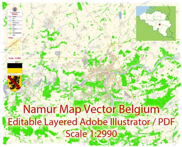
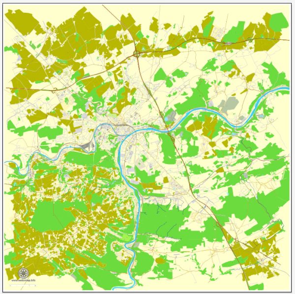
Namur, the capital of the Walloon Region in southern Belgium, has a rich historical background and a well-structured urban layout.
Vectormap.Net provide you with the most accurate and up-to-date vector maps in Adobe Illustrator, PDF and other formats, designed for editing and printing. Please read the vector map descriptions carefully.
Here’s a detailed description of its history and main streets:
History of Namur
Early History
- Medieval Origins:
- Namur has a long history dating back to Roman times, though it began to develop significantly in the medieval period. The city’s strategic location at the confluence of the Sambre and Meuse rivers made it a key defensive and trading site.
- Countship of Namur:
- In the 10th century, Namur became the center of the County of Namur, an important feudal territory. The city’s medieval castle, which still dominates the skyline, played a central role in its defense and administration.
Early Modern Period
- Burgundian and Habsburg Rule:
- In the 15th century, Namur came under Burgundian control, and later it became part of the Habsburg Netherlands. This period saw significant fortifications and administrative changes, enhancing its strategic importance in European politics.
- French and Spanish Rule:
- The city was contested during various European conflicts, including those between France and Spain. It experienced several sieges and changes in control.
19th and 20th Centuries
- Belgian Independence:
- With the establishment of Belgium in 1830, Namur became the capital of the Walloon Region, reflecting its importance within the new nation. The city underwent modernization and expansion during this period.
- World Wars:
- Namur was affected by both World War I and World War II, with its strategic location making it a target during the conflicts. The city saw damage and rebuilding during and after these periods.
Modern Era
- Contemporary Development:
- Today, Namur is known for its rich cultural heritage, historical landmarks, and vibrant local culture. It serves as a regional administrative and cultural center in Belgium.
Main Streets of Namur
1. Rue de Fer
- Description:
- One of Namur’s main shopping streets, Rue de Fer is located in the city center and is known for its variety of retail shops, cafes, and restaurants.
- Features:
- The street features a mix of historic and modern buildings, with pedestrian zones and lively street life.
2. Place d’Armes
- Description:
- A central square in Namur, surrounded by significant historic and administrative buildings.
- Features:
- Home to the City Hall and various shops and restaurants. It is a key gathering spot for events and local activities.
3. Rue de la Monnaie
- Description:
- A historic street that leads towards the Meuse River and is known for its architectural heritage and charming ambiance.
- Features:
- The street is lined with old buildings and provides access to various cultural sites and attractions.
4. Rue du Pont
- Description:
- Located near the Meuse River, Rue du Pont connects the city center with areas to the north and features a mix of residential and commercial properties.
- Features:
- Offers views of the river and access to waterfront promenades and leisure areas.
**5. Avenue Colonel Bourg
- Description:
- A significant avenue that runs through Namur, linking various neighborhoods and providing access to key facilities.
- Features:
- Known for its mix of residential and commercial properties, as well as its role in city transportation.
6. Rue des Brasseurs
- Description:
- A street known for its historical significance and proximity to Namur’s old city center.
- Features:
- Offers a blend of historic architecture and modern amenities, contributing to the city’s cultural and commercial vibrancy.
Summary
Namur’s history is marked by its strategic significance throughout the medieval period, its role within the Burgundian and Habsburg territories, and its place in modern Belgium as the capital of the Walloon Region. The city’s main streets, including Rue de Fer, Place d’Armes, and Rue de la Monnaie, reflect its historical and cultural richness, offering a mix of shopping, dining, and historic landmarks. Namur’s urban layout integrates its rich past with contemporary development, making it a vibrant and historically significant city in Belgium.


 Author: Kirill Shrayber, Ph.D. FRGS