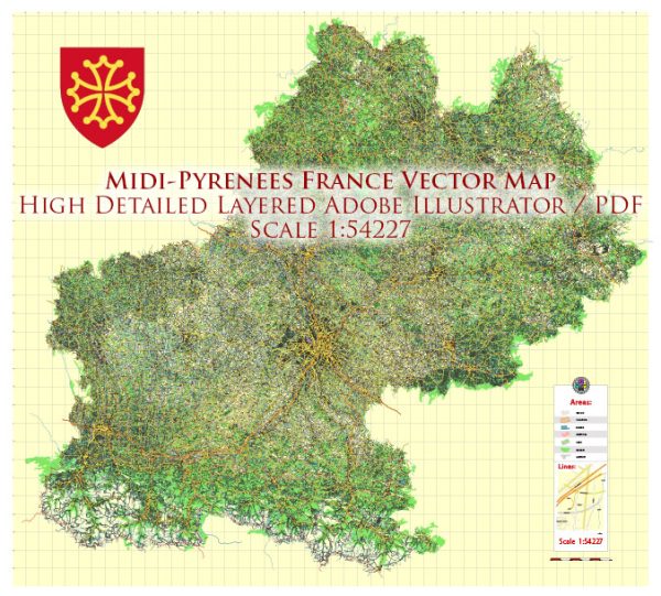
A general overview of the economic and transportation aspects of the Midi-Pyrénées region in France.
Vectormap.Net provide you with the most accurate and up-to-date vector maps in Adobe Illustrator, PDF and other formats, designed for editing and printing. Please read the vector map descriptions carefully.
Economic Overview:
- Diversity of Economy:
- The Midi-Pyrénées region, which was later merged into the larger Occitanie region, was known for its diverse economy.
- Agriculture played a significant role, with the region producing a variety of crops, including cereals, fruits, and wine grapes.
- Aerospace Industry:
- Toulouse, the capital of the region, is a major hub for the aerospace industry. It is home to Airbus headquarters and several other aerospace-related companies.
- The aerospace sector has a significant impact on the regional economy, providing jobs and contributing to economic growth.
- Tourism:
- The Midi-Pyrénées region was known for its picturesque landscapes, historical sites, and outdoor activities, attracting tourists throughout the year.
- The Pyrenees mountains and the Canal du Midi were popular attractions, contributing to the tourism sector.
Transportation Overview:
- Road Networks:
- The region had an extensive road network connecting major cities and towns. Highways and national roads facilitated transportation both within the region and to other parts of France and Europe.
- Rail Transport:
- Toulouse served as a major railway hub, connecting the region to other parts of France. High-speed trains (TGV) and regional trains provided efficient rail transport options.
- The railway infrastructure was well-developed, supporting both passenger and freight transportation.
- Air Transport:
- Toulouse-Blagnac Airport was a key aviation hub, with both domestic and international flights. It played a crucial role in supporting the aerospace industry in the region.
- Inland Waterways:
- The Canal du Midi, a UNESCO World Heritage Site, was historically significant for transportation and irrigation. While not a major mode of transportation for goods, it contributed to the region’s charm and tourism.
- Public Transportation:
- Major cities in the region had well-established public transportation systems, including buses and trams, providing convenient options for daily commuting.
- Logistics and Distribution:
- Given its central location in the south of France, Midi-Pyrénées was strategically important for logistics and distribution, serving as a crossroads for transportation routes.
Please note that changes may have occurred in the economic and transportation landscape of the region since my last update, and it’s advisable to check more recent sources for the latest information.


 Author: Kirill Shrayber, Ph.D.