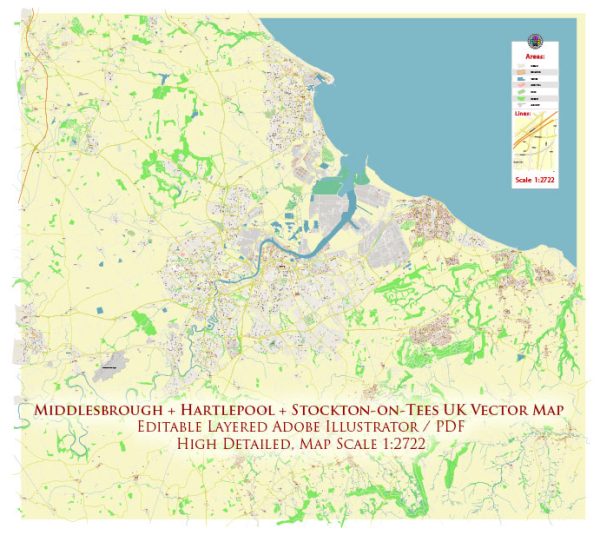
A general overview of Middlesbrough, Hartlepool, and Stockton-on-Tees, including their districts, communities, and main streets.
Vectormap.Net provide you with the most accurate and up-to-date vector maps in Adobe Illustrator, PDF and other formats, designed for editing and printing. Please read the vector map descriptions carefully.
Middlesbrough:
Districts and Communities:
- Town Centre: The heart of Middlesbrough, featuring commercial and retail areas, including Captain Cook Square and Cleveland Centre.
- Linthorpe: A residential area with Victorian and Edwardian houses, parks, and local amenities.
- Acklam: A suburb to the west, characterized by schools, parks, and residential areas.
- Eston: Located to the southeast, it has a mix of residential and industrial zones.
Main Streets:
- Lincoln Street: In the town centre, it connects various shopping areas and businesses.
- Linthorpe Road: Running through the Linthorpe district, it’s a key road with shops, restaurants, and cafes.
- Borough Road: Connecting the town centre to the Teesside University campus and featuring various businesses.
- Marton Road: Running through the Acklam area, known for schools and parks.
Hartlepool:
Districts and Communities:
- Headland: A historic area with a medieval town wall, St. Hilda’s Church, and picturesque views of the North Sea.
- Hartlepool Marina: A vibrant waterfront area with shops, restaurants, and a modern marina.
- Seaton Carew: A seaside resort town within Hartlepool with a long beach and traditional amusements.
- Owton Manor: A residential area in the west of Hartlepool with schools and parks.
Main Streets:
- Church Street: In the Headland area, featuring historic buildings and shops.
- Marina Way: Running through Hartlepool Marina, lined with restaurants and overlooking the marina.
- Elizabeth Way: Connecting various areas in Hartlepool, including Owton Manor and Seaton Carew.
Stockton-on-Tees:
Districts and Communities:
- Stockton Town Centre: A hub of commerce and entertainment with a market, shops, and historic sites.
- Thornaby: A neighboring town with residential and industrial areas.
- Ingleby Barwick: A large residential estate to the south of Stockton.
- Norton: A historic market town within Stockton, known for its village green and historic architecture.
Main Streets:
- High Street: The main shopping street in Stockton Town Centre with a mix of shops and businesses.
- Yarm Lane: Connecting Stockton and Thornaby, with various shops and services.
- Norton High Street: The main street in Norton, featuring independent shops and cafes.
It’s essential to keep in mind that these descriptions provide a broad overview, and each area within these towns has its unique characteristics. For the most up-to-date and detailed information, consider consulting local sources or online maps.


 Author: Kirill Shrayber, Ph.D. FRGS