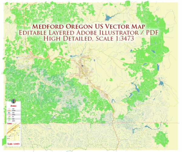
About the roads and streets infrastructure in Medford, Oregon, a general overview of what you might find in a typical city’s road infrastructure.
Vectormap.Net provide you with the most accurate and up-to-date vector maps in Adobe Illustrator, PDF and other formats, designed for editing and printing. Please read the vector map descriptions carefully.
- Road Network: Medford, being a city in the United States, likely has a well-developed road network. This includes major highways, arterial roads, and local streets. Highways such as Interstate 5 may pass through or near Medford, connecting it to other cities and regions.
- Major Highways:
- Interstate 5 (I-5): A major north-south highway running through the western United States. It is a crucial transportation corridor for both passenger and freight traffic.
- Arterial Roads:
- Arterial roads are major thoroughfares that connect different parts of the city. They often have a higher capacity and are designed to handle more significant traffic volumes.
- Local Streets:
- Local streets form the intricate network that connects residential areas, commercial zones, and other points of interest within the city. They are usually designed for lower traffic volumes and provide access to homes and businesses.
- Bridges and Overpasses:
- Depending on the city’s topography, there may be bridges or overpasses to facilitate the flow of traffic over water bodies, railway lines, or other obstacles.
- Public Transportation:
- Medford may have a public transportation system, which could include bus services and possibly other modes of transit. Bus routes and stops would be an integral part of the transportation infrastructure.
- Traffic Management:
- The city may have implemented various traffic management measures, such as traffic signals, signs, and other safety features, to ensure smooth traffic flow and pedestrian safety.
- Bicycle Lanes and Walkways:
- Some cities prioritize non-motorized transportation by incorporating bicycle lanes and walkways into their road infrastructure. This promotes a more pedestrian-friendly and environmentally sustainable city.
It’s essential to check with local authorities, city planning departments, or official websites for the most recent and accurate information on Medford’s roads and streets infrastructure.


 Author: Kirill Shrayber, Ph.D.