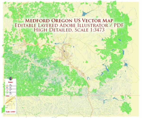
A general overview of the economic and transportation aspects of Medford, Oregon, based on historical information.
Vectormap.Net provide you with the most accurate and up-to-date vector maps in Adobe Illustrator, PDF and other formats, designed for editing and printing. Please read the vector map descriptions carefully.
Economic Overview:
1. Diverse Economy: Medford’s economy is diverse, with contributions from various sectors such as healthcare, agriculture, tourism, and manufacturing. The region has seen growth in recent years, supported by a mix of industries.
2. Healthcare and Education: The healthcare sector is significant, with several medical facilities and educational institutions providing employment opportunities. Asante Rogue Regional Medical Center is a major healthcare facility in the area.
3. Agriculture: The surrounding region is known for agriculture, including the production of pears, wine grapes, and other crops. Agriculture has been a historical cornerstone of the local economy.
4. Tourism: The picturesque surroundings, including the Rogue River and nearby wineries, contribute to tourism. Outdoor activities like hiking, fishing, and rafting attract visitors.
5. Manufacturing and Retail: Manufacturing plays a role in the local economy, including food processing and lumber production. Retail and services also contribute significantly.
Transportation Overview:
1. Roads: Medford is well-connected by roads. Interstate 5 runs through the city, facilitating north-south transportation. Other major highways, including Oregon Route 62 and Oregon Route 99, contribute to the local and regional road network.
2. Air Travel: The Rogue Valley International-Medford Airport (MFR) serves the area, providing domestic flights. The airport connects Medford to major cities and serves as a gateway for both business and leisure travel.
3. Public Transportation: Medford has a public transportation system, including buses operated by Rogue Valley Transportation District (RVTD). This system serves both Medford and nearby communities.
4. Railways: Rail services primarily support freight transportation rather than passenger travel in the Medford area. The rail network is crucial for transporting goods and raw materials.
5. Port Access: Although Medford is not a coastal city, it indirectly benefits from ports in nearby cities like Portland. Efficient port operations contribute to the transportation of goods to and from the region.
Recent Developments (Potential Changes):
- It’s essential to check for recent developments and initiatives in the region, as cities often undergo changes in infrastructure and economic strategies.
Remember to verify this information with up-to-date sources, as economic and transportation landscapes can evolve over time.


 Author: Kirill Shrayber, Ph.D. FRGS