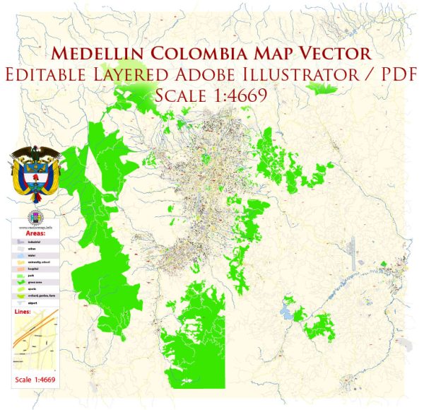
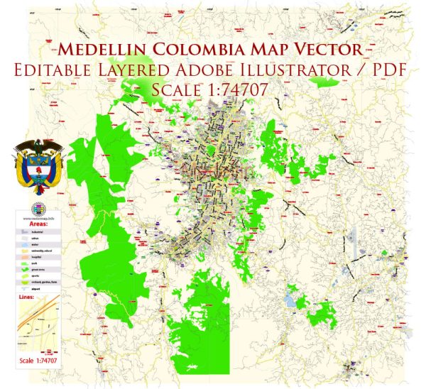
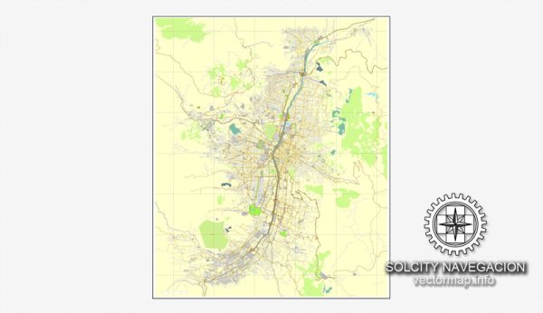
A general overview of the districts, communities, and street systems in Medellin, Colombia.
Vectormap.Net provide you with the most accurate and up-to-date vector maps in Adobe Illustrator, PDF and other formats, designed for editing and printing. Please read the vector map descriptions carefully.
Districts and Communities:
- El Poblado:
- One of the most affluent and upscale neighborhoods in Medellin.
- Known for its high-end shopping malls, restaurants, and nightlife.
- Home to many expatriates and business professionals.
- La Candelaria:
- The historic center of Medellin.
- Features colonial architecture and landmarks like the Metropolitan Cathedral and Botero Plaza.
- A mix of residential and commercial spaces.
- Laureles-Estadio:
- A predominantly residential area with a mix of middle-class and upper-middle-class neighborhoods.
- Known for its parks, sports facilities, and traditional Colombian architecture.
- Envigado:
- Located just south of El Poblado, Envigado is a mix of residential and commercial areas.
- Known for its traditional atmosphere, parks, and local markets.
- Belén:
- Located in the western part of the city.
- Features both residential and industrial areas.
- Home to the Jardín Botánico (Botanical Garden) and the Parque de los Deseos.
- Robledo:
- Primarily a residential district with a mix of housing types.
- Home to the University of San Buenaventura and the Universidad Nacional de Colombia’s Medellin campus.
- Sabaneta:
- A separate municipality but considered part of the Medellin Metropolitan Area.
- Known for its friendly atmosphere and community events.
Street System:
- Carreras and Calles:
- Medellin’s street system is based on a grid, with Carreras running north to south and Calles running east to west.
- The city is divided into different zones, and street numbering is typically organized logically within each zone.
- Avenues and Main Roads:
- Major avenues and roads connect different districts and neighborhoods.
- Avenida El Poblado is a significant thoroughfare in the El Poblado district.
- Metro System:
- Complementing the street system, the Medellin Metro includes elevated railways, underground sections, and cable cars.
- The metro system plays a crucial role in public transportation, connecting various parts of the city.
- Ciclovía:
- Medellin promotes cycling through its Ciclovía program, which involves closing certain streets to vehicular traffic on Sundays and public holidays, allowing cyclists and pedestrians to enjoy the city safely.
For the most up-to-date and detailed information on Medellin’s districts, communities, and street systems, consult local maps, city planning authorities, or recent urban development documents. Additionally, community dynamics and infrastructure may have evolved since my last update.


 Author: Kirill Shrayber, Ph.D.