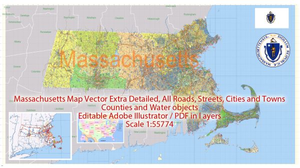
Massachusetts, located in the New England region of the United States, has a rich political history dating back to the early colonial period.
Vectormap.Net provide you with the most accurate and up-to-date vector maps in Adobe Illustrator, PDF and other formats, designed for editing and printing. Please read the vector map descriptions carefully.
Here is a detailed overview of its political history and main cities:
Political History:
1. Colonial Period:
- Massachusetts was one of the original thirteen colonies that played a crucial role in the American Revolution. The Plymouth Colony, founded by the Pilgrims in 1620, was one of the earliest settlements in the region.
- In 1691, the Plymouth Colony and the Massachusetts Bay Colony were merged into the Province of Massachusetts Bay under a new royal charter.
2. Revolutionary War:
- Boston, the capital of Massachusetts, was a key center for revolutionary activities. Events like the Boston Tea Party (1773) and the Boston Massacre (1770) fueled anti-British sentiment.
- Lexington and Concord were the sites of the first battles of the American Revolution in 1775.
3. Post-Revolutionary Period:
- Massachusetts became the sixth state to ratify the U.S. Constitution in 1788.
- The state played a significant role in early American industrialization and the abolitionist movement.
4. 19th Century:
- Massachusetts was a stronghold for abolitionist sentiment and played a crucial role in the Underground Railroad.
- The state was an intellectual and cultural center, home to figures like Ralph Waldo Emerson, Henry David Thoreau, and Nathaniel Hawthorne.
5. Industrialization and Immigration:
- The 19th century saw Massachusetts transform into an industrial powerhouse, with cities like Lowell becoming textile manufacturing hubs.
- Waves of immigrants, particularly from Ireland and Eastern Europe, shaped the demographics of cities like Boston.
6. Progressive Era:
- Massachusetts was a leader in the Progressive Era, enacting social and labor reforms under leaders like Governor Calvin Coolidge.
7. Modern Era:
- Massachusetts played a crucial role in the Civil Rights Movement, and Boston was a focal point for desegregation efforts in the 1960s and 1970s.
- The state has been a leader in education, technology, and healthcare, with prestigious universities and medical institutions.
Main Cities:
1. Boston:
- The capital and largest city of Massachusetts, Boston is a historic city with a significant role in American history. It is known for its colonial architecture, cultural institutions, and prestigious universities.
2. Worcester:
- The second-largest city in Massachusetts, Worcester is an industrial and cultural hub, known for its healthcare and educational institutions.
3. Springfield:
- Located in Western Massachusetts, Springfield is known for its manufacturing history and is the birthplace of basketball.
4. Cambridge:
- Adjacent to Boston, Cambridge is home to prestigious institutions like Harvard University and MIT. It has a vibrant intellectual and cultural scene.
5. Lowell:
- Once a major textile manufacturing center, Lowell has transformed into a city with a focus on education, technology, and the arts.
6. Quincy:
- A historic city, Quincy is known for being the birthplace of Presidents John Adams and John Quincy Adams. It has a rich maritime history.
7. New Bedford:
- A major whaling port in the 19th century, New Bedford has a maritime heritage and is known for its historic architecture.
Massachusetts continues to be a politically and culturally significant state, contributing to the nation’s progress in various fields.


 Author: Kirill Shrayber, Ph.D. FRGS