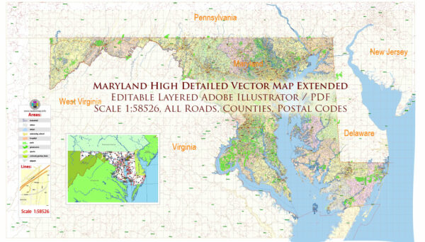
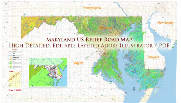
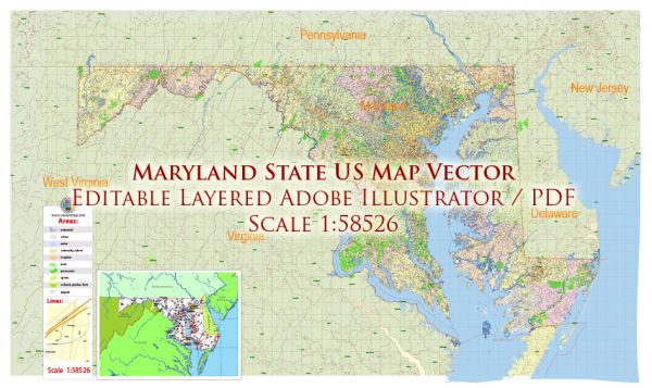
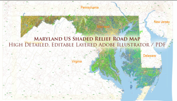
Some information about the main cities, nature parks, water areas, and principal roads in the state of Maryland, USA.
Vectormap.Net provide you with the most accurate and up-to-date vector maps in Adobe Illustrator, PDF and other formats, designed for editing and printing. Please read the vector map descriptions carefully.
Main Cities:
- Baltimore: The largest city in Maryland, located on the Chesapeake Bay. Known for its historic neighborhoods, vibrant arts scene, and important seaport.
- Annapolis: The capital city of Maryland, famous for its historic district, colonial architecture, and the United States Naval Academy.
- Rockville: A major city in Montgomery County, known for its diverse population and strong local economy.
- Frederick: Located in western Maryland, it has a charming historic district and is surrounded by picturesque landscapes.
- Silver Spring: A suburb of Washington, D.C., known for its cultural diversity, shopping, and entertainment options.
Nature Parks:
- Assateague Island National Seashore: Known for its pristine beaches, wild horses, and diverse birdlife.
- Catoctin Mountain Park: A park in the Catoctin Mountain range, offering hiking trails and scenic views.
- Patapsco Valley State Park: Located along the Patapsco River, it features hiking, fishing, and recreational activities.
- Great Falls Park: Along the Potomac River, it offers stunning views of waterfalls and is a popular spot for hiking and kayaking.
- Chesapeake and Ohio Canal National Historical Park (C&O Canal): Follows the Potomac River and offers a historic towpath for hiking and biking.
Water Areas:
- Chesapeake Bay: The largest estuary in the United States, providing important habitats for various marine species.
- Potomac River: Flows through Maryland, offering recreational activities and scenic views.
- Atlantic Ocean: Maryland has a small coastline along the Atlantic, with popular beach destinations like Ocean City.
- Deep Creek Lake: A large freshwater lake in western Maryland, offering boating, fishing, and other water activities.
Principal Roads:
- Interstate 95 (I-95): Major north-south interstate passing through Baltimore and connecting to Washington, D.C.
- Interstate 495 (Capital Beltway): Encircles Washington, D.C., passing through parts of Maryland.
- Interstate 70 (I-70): Runs west-east through Maryland, connecting Baltimore and Frederick.
- U.S. Route 50: Connects Annapolis to Ocean City, providing access to the Eastern Shore.
- U.S. Route 301: Connects the Chesapeake Bay Bridge to the Maryland-Delaware border.


 Author: Kirill Shrayber, Ph.D. FRGS