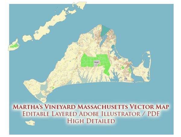
Martha’s Vineyard is an island located off the southern coast of Massachusetts, known for its picturesque landscapes, charming towns, and beautiful coastline.
Vectormap.Net provide you with the most accurate and up-to-date vector maps in Adobe Illustrator, PDF and other formats, designed for editing and printing. Please read the vector map descriptions carefully.
Here’s a detailed description of the ports, marinas, and main streets and roads on Martha’s Vineyard:
Ports and Harbors:
- Vineyard Haven: This is one of the main entry points to the island, hosting a busy ferry terminal. The harbor is dotted with boats and yachts, and there are several marinas such as the Vineyard Haven Marina and Tisbury Wharf.
- Oak Bluffs: Another prominent port, Oak Bluffs features the historic Oak Bluffs Harbor. This harbor is lively and known for the colorful gingerbread cottages that line the streets nearby.
- Edgartown: The Edgartown Harbor is a classic New England harbor with a mix of fishing boats and pleasure crafts. The town itself is picturesque with its white clapboard houses and historic architecture.
Marinas:
- Vineyard Haven Marina: Located in Vineyard Haven, this marina offers amenities for boaters and is conveniently close to the town center.
- Oak Bluffs Marina: Situated in the heart of Oak Bluffs, this marina is a popular spot for boaters looking to explore the town and its attractions.
- Edgartown Yacht Club: A prestigious yacht club in Edgartown with a well-equipped marina catering to sailors and boating enthusiasts.
Main Streets and Roads:
- Main Street, Vineyard Haven: This is the primary street running through Vineyard Haven. Lined with shops, restaurants, and galleries, it provides a welcoming atmosphere for visitors arriving via the ferry.
- Circuit Avenue, Oak Bluffs: The main street in Oak Bluffs, Circuit Avenue is known for its vibrant atmosphere. It’s packed with shops, eateries, and entertainment options, making it a bustling hub.
- Main Street, Edgartown: Edgartown’s Main Street is filled with historic homes, boutique shops, and upscale restaurants. The architecture reflects the town’s maritime heritage.
Main Roads:
- Beach Road: Connecting the three main towns (Vineyard Haven, Oak Bluffs, and Edgartown), Beach Road offers scenic views of the ocean and is a popular route for biking and driving.
- State Road: Running through the western part of the island, State Road connects various towns and provides access to the beautiful landscapes and rural areas of Martha’s Vineyard.
Remember that Martha’s Vineyard is a relatively small island, and you can easily explore it by car, bike, or public transportation. Each town and harbor has its unique charm, and the island’s beauty lies in its diverse landscapes and the welcoming atmosphere of its communities.


 Author: Kirill Shrayber, Ph.D.