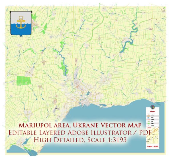
A general overview of Mariupol’s port, main streets, and roads. Please note that specific details may have changed, and for the most up-to-date and accurate information, it is recommended to consult local authorities or recent sources.
Vectormap.Net provide you with the most accurate and up-to-date vector maps in Adobe Illustrator, PDF and other formats, designed for editing and printing. Please read the vector map descriptions carefully.
Mariupol Port: Mariupol is a major port city on the Azov Sea, and its port plays a crucial role in the city’s economic activities. The Mariupol Sea Commercial Port is the main port facility in the city. It handles various types of cargo, including steel products, grains, and general goods. The port is equipped with facilities for loading and unloading cargo ships, and it serves as a key transportation hub for both domestic and international trade.
Main Streets and Roads: Mariupol, like any city, has a network of streets and roads that facilitate transportation within and around the city. Some of the main streets and roads in Mariupol include:
- Prospekt Metalurhiv (Metallurgists Avenue): This is one of the major avenues in Mariupol and is likely to be an important thoroughfare, given the city’s industrial and metallurgical focus.
- Lenina Avenue: Another significant avenue in Mariupol, named after Vladimir Lenin, this road is likely to have commercial and residential areas.
- Myru Avenue: Translating to “Peace Avenue,” this road may be an important route within the city.
- Portovaya Street: Given Mariupol’s status as a port city, streets like Portovaya Street may be associated with the port facilities and related activities.
- Zelena Street: Streets like Zelena Street are common in many cities and may be associated with residential or commercial areas.
- Highways: Mariupol is connected to the broader road network, and there are likely highways linking the city to other major urban centers in Ukraine.
It’s important to keep in mind that the layout and significance of streets may vary, and the city’s infrastructure can evolve over time. For the most accurate and detailed information on Mariupol’s port, streets, and roads, you may want to refer to local maps, municipal authorities, or recent navigation applications that provide real-time data on roads and infrastructure. Additionally, considering the geopolitical situation, there might be changes, and local authorities may provide guidance on current conditions.


 Author: Kirill Shrayber, Ph.D. FRGS