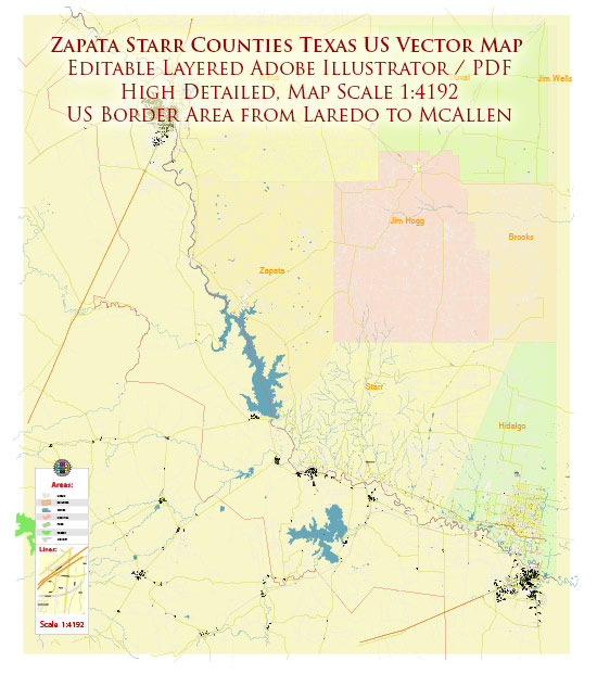
Zapata and Starr counties in Texas, a general overview based on the available information.
Vectormap.Net provide you with the most accurate and up-to-date vector maps in Adobe Illustrator, PDF and other formats, designed for editing and printing. Please read the vector map descriptions carefully.
Zapata County:
- Zapata (County Seat): Zapata is the county seat of Zapata County. It is a small city located in southern Texas, near Falcon Lake. The city serves as a hub for various activities related to the lake, such as fishing and water sports.
- San Ygnacio: San Ygnacio is a historic town situated along the Rio Grande. It is known for its well-preserved architecture and is listed on the National Register of Historic Places.
Starr County:
- Rio Grande City (County Seat): Rio Grande City is the largest city and the county seat of Starr County. It is located along the Rio Grande and serves as an important economic and cultural center for the region.
- Roma: Roma is a historic town on the border with Mexico, known for its well-preserved architecture from the 19th century. It’s also situated along the Rio Grande.
- Escobares: Escobares is a smaller community in Starr County, known for its rural character.
Principal Roads:
- U.S. Route 83: This is a major east-west highway that runs through both Zapata and Starr counties, connecting various communities along its route.
- Farm to Market Road 1430 (FM 1430): FM 1430 is a state highway that runs through Zapata County, providing connectivity to different areas.
- Farm to Market Road 755 (FM 755): FM 755 is another state highway in the region, serving transportation needs in Starr County.
For the most current and detailed information, I recommend checking with local government sources, maps, or online resources that provide real-time updates on geographical information.


 Author: Kirill Shrayber, Ph.D. FRGS